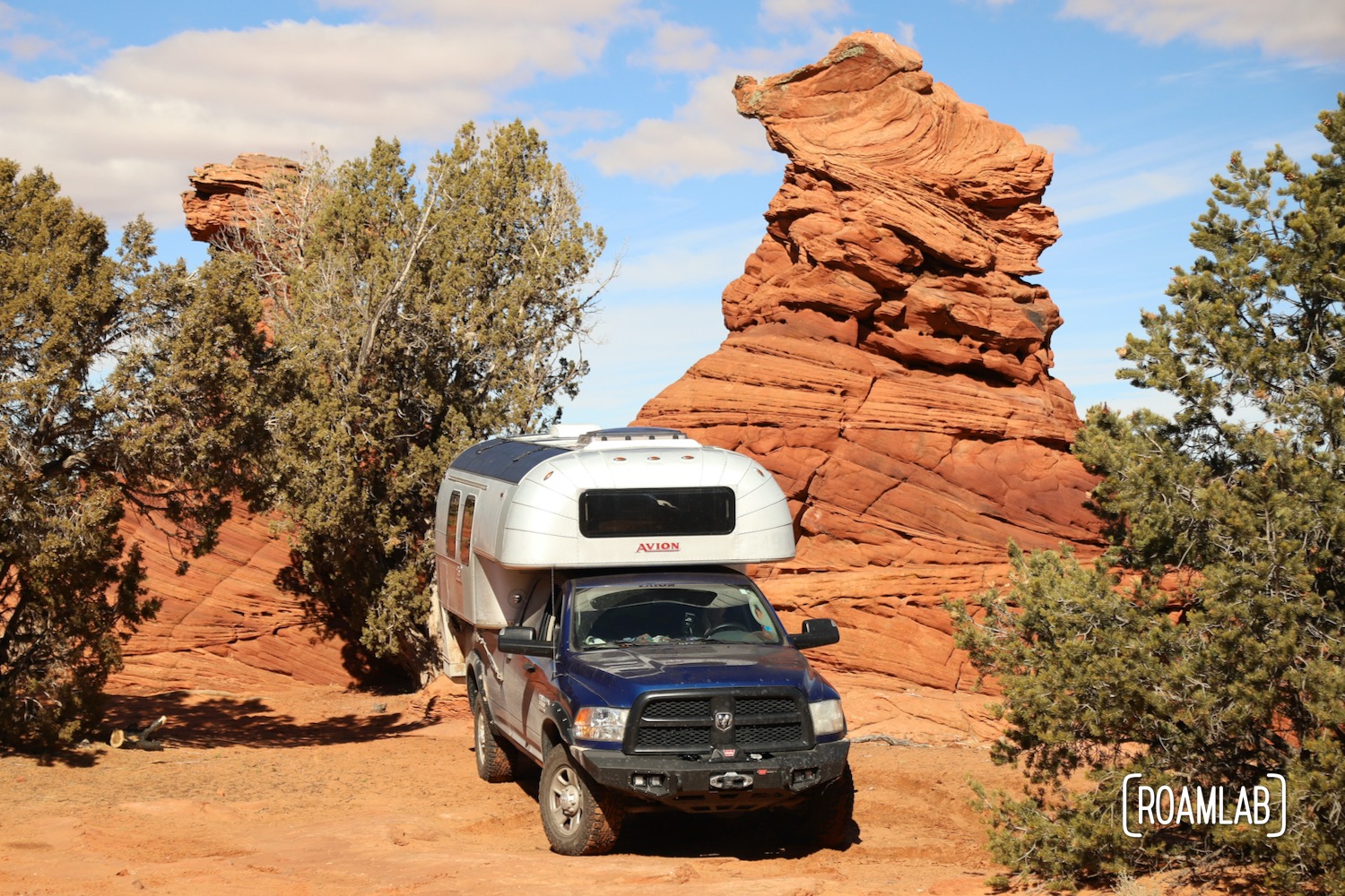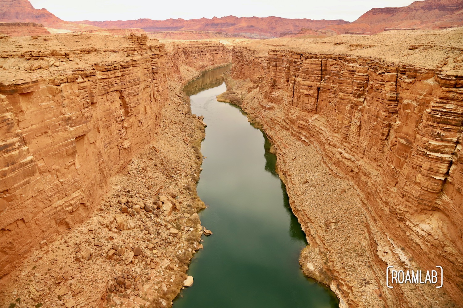
The Arizona Strip is a stretch of Northern Arizona divided from the rest of the state by the Colorado River. The powerful river is an obstacle on its own, but the deep canyons it has carved have effectively isolated the strip from the rest of the state. You’ve probably heard of at least one of these chasms: The Grand Canyon. But it is one of many large canyon systems created by the Colorado River, including Marble Canyon.


Crossing the Colorado River
Marble Canyon sits upriver of the Grand Canyon. While this Colorado River stretch doesn’t attract the equivalent amount of awe, crossing it is still a challenge. Archeologists have found evidence of people crossing the Colorado River in prehistoric times. But it is no small feat. The towering cliff faces limit access to the river. But once at water level, river flow in Marble Canyon is low enough to permit fording and has proven to be a popular crossing point for centuries.
This crossing point was formalized in 1871 when John Doyle Lee established an operation known as Lee’s Ferry. It was a popular crossing for settlers traveling the “Honeymoon Trail,” named for the many Latterday Saint couples in young settlements in Northern Arizona who traveled the route to St. George, Utah, to have their marriages sanctioned in a Mormon temple.
While the town on the Northern bank of the Marble Canyon still holds Lee’s Ferry’s name, travelers no longer needed to ford the Colorado River. After1929, travelers could take the high road, crossing via the Navajo Bridge.

Navajo Bridge
There are two Navajo bridges. The first was a marvel of its time when it opened on January 12, 1929. Stretching 834 feet across the Marble Canyon and rising 467 feet above the Colorado, it was the world’s highest steel arch bridge. The bridge was a key link between Arizona and Utah. As the only bridge crossing the Colorado River within 600 miles. It opened up trade and tourism between the generally isolated regions. Yet, its construction did not anticipate the much heavier vehicles that travel the roads today. To keep Arizona and Utah connected, there would need to be a new bridge.
The new Navajo bridge mirrors much of the original Navajo Bridge’s appearance. Like the first bridge, crews assembled the bridge as two cantilevered pieces built from each side of the canyon wall and extending 363 feet to meet in the center. New environmental considerations meant that the design and implementation had to be careful not to harm Marble Canyon’s environment. Even with the extra challenges, the bridge was completed and dedicated on September 14th, 1995, spanning 909 feet and 470-feet above the Colorado River.
The original bridge is now known as the Historic Navajo Bridge and serves as a foot bridge, accessible by parking lots on both ends of the bridge.

Visitors Center
Along with the two bridges, travelers can learn more about the area at the Visitors Center on the north side of the Marble Canyon. The Visitors Center building is little more than a gift shop with a neighboring block of restrooms. Inside, there is a small display, but much of the Marble Canyon and Navajo Bridge information is found on information panels along an overlook by the footbridge entrance. The large parking lots on both sides of the footbridge make this an easy stop to view and learn about the area.