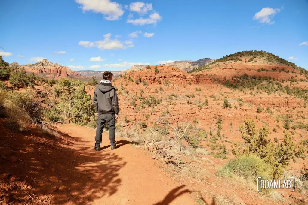
Sedona means many things to many people—brilliant red buttes, rugged wilderness, mystic hotspots—and that conjunction of nature and mysticism results in crowds. Airport Loop Trail is expressive of this dichotomy. Along with its panoramic views along the loop, hikers are drawn to the vortex at the trailhead. And it is one busy hiking route.

Hiking the Trail
Most people hike the Airport Loop Trail clockwise. We choose to mix things up and hike counterclockwise. While it isn’t intentional, I would certainly recommend the counterclockwise route over the clockwise one. The start is a bit harder to spot. The signs for the loop trail direct hikers south to the clockwise entrance. Meanwhile, to take the counterclockwise loop, we have to cross Airport Road to pick up on the inconspicuous trail terminus.
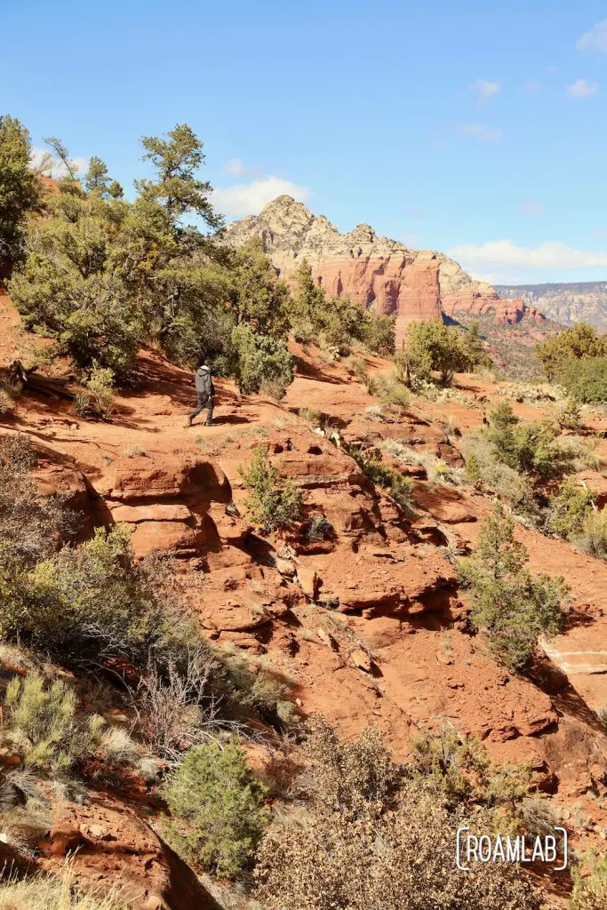
By traveling counterclockwise, we minimize interacting with other hikers. No extended exchange as faster hikers overtakes slower hikers. Not to mention, as someone who prefers to save the best for last, the first half of the Airport Loop is a bit of a rehash of the view from the Airport Mesa Vista point. All the same, we do manage to have a mile’s worth of energy sapped by Bandit Trail when we miss a fork and find ourselves at the valley floor behind a commercial business. So, keep an eye out. That was a steep return to the main trail. Still, aside from keeping an eye out for trail markers, there isn’t much of anything new to see until we approach the Airport landing strip. The trail comes incredibly close to where planes and helicopters take off and land from the airport. It’s worth lingering here to try to catch a takeoff.
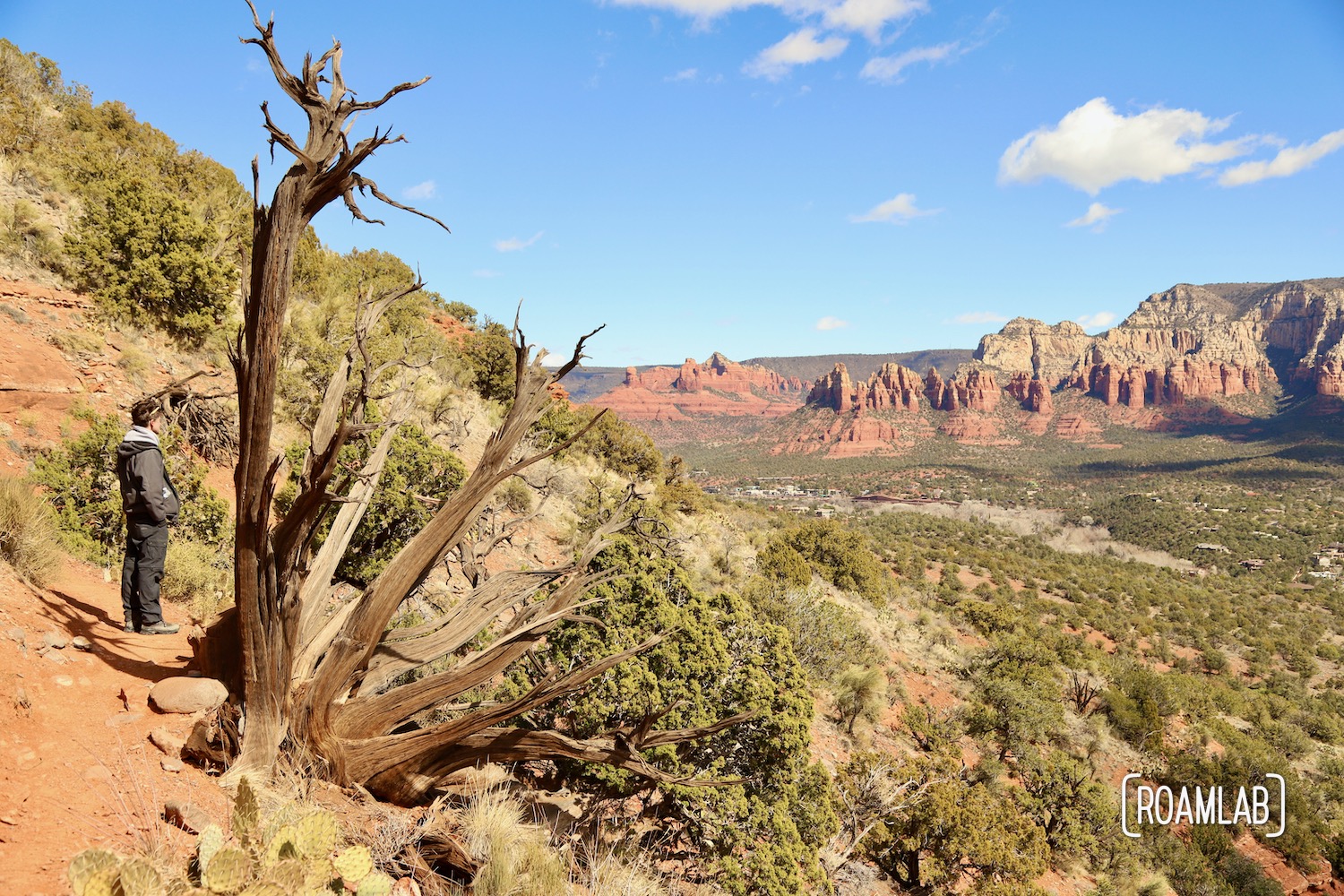
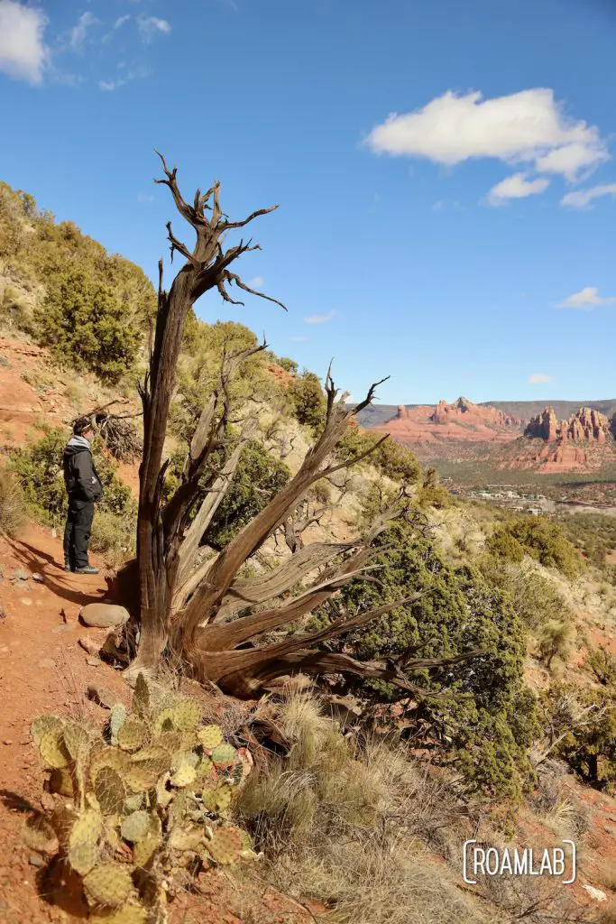
The final third of the trail is really the worthwhile section. It’s also the most crowded. From comments by other hikers, we learn that it’s not uncommon for hikers just to tackle this stretch then turn back rather than complete the loop. And I understand why. The trail is practically a shelf along the steep slope of Airport Mesa’s South-East side. Cacti grow in mini-forests and the red buttes shift in a delightful parallax as we return to the railhead.

Sedona View Trail
Like many popular trailheads in Sedona, Arizona, there is a distinct shortage of parking spots. By the time we drive past in the late morning, all the spots are taken. Fortunately, the trailhead is also accessible from the Airport Parking lot 0.6 miles further down the road. There is a narrow trail from the parking lot that connects to the Airport loop Trailhead.
Sedona View Trail starts at the northeast corner of the airport parking lot. A few signposts about hiking in Sedona mark the beginning of the trail, which roughly follows the airport’s fence—though a jumble of stones and gravel make the trail rather indistinct—until reaching a gate in the fence to exit the airport grounds. At this point, the trail is a simple narrow dirt track down to the Airport Loop trailhead. The route does have some pleasant views along the way and clearly concludes at a vista point with many information panels and the beginning of Airport Loop Trail.

Our Experience
I have very mixed opinions when it comes to Airport Loop Trail. It is gorgeous. But, we hike to get away from it all. The congestion on this trail makes it difficult to find a moment to ourselves, and, frankly, most of the vista can be taken in from the Scenic Overlook at the Airport parking lot. Whatever is left can be summarized from the trailhead overlook.
Frankly, I wouldn’t hike this trail again. If someone felt moved to take the hike themselves, I’d suggest arriving early and just hiking the first third of the loop (clockwise) from the trailhead to the end of the runway and bring a picnic. There are some nice rocks to sit on while watching the local tour plains and helicopters take off and land.
For those uncertain, I’d suggest researching a bit further. Sedona is so beautiful that even the less popular trails have so much to offer. Brins Mesa Trail remains one of my favorites because its views are not compromised by the crowds found on more popular routes. When in doubt, check with the helpful locals at the visitors center downtown. They are great!