Before Big Bend was a National Park, the land was many things. After all, the 801,163-acre preserve encompasses many properties, including the retired Mariscal Mine. Back in the day, this desert operation produced nearly one-quarter of the USA’s quicksilver. Today, the extensive collection of crumbling structures stand as a reminder of the impermanence of such a boom and bust industry.


History of Mariscal Mine
Like many mines before it, the story of the Mariscal Mine is a cycle of boom and bust from its inception in 1900 to its final close in 1943. Before it is a mine, this little wedge of land along the Rio Grande is a farm. In 1900, Martin Solis discovers cinnabar, a bright red mercury-bearing ore near his farm. But it is a U.S. Customs agent and Boquillas, Texas, store owner who files the first mining claim on Mariscal Mountain.
Ed Lindsay establishes the Lindsay Mine in 1900. It’s a costly operation: mules transport the ore 30 miles to sell. Between operation costs and a land dispute, Linsay sells his mining interest in November of 1905 to Isaac Sanger of Dallas. Yet, the newly minted Sanger’s Texas Almaden Mining company only lasts another four years before collapsing in the wake of an economic depression.
WWI
But, of course, that is far from the end of the Mariscal Mine. As is the story with many mines, WWI drives new demand for quicksilver, and the midwest inventor W. K. Ellis is the man to fill it. In 1917, Ellis purchases the mine and builds out the operation with an ore bin and stationary retorts. The Ellis Mine produces 894 flasks of mercury before the close of WWI, which leads to a drop in demand and the closing of the mine once more.
Yet, while Ellis may have made a timely exit from the cinnabar mining industry by selling the mine to William “Billy” Burcham, the story of the Mariscal Mine is far from over. In 1919 Burcham partners with New York financiers to create the Mariscal Mining Company. He uses the financing to reopen the mine with modern equipment—including a large Scott Furnace and concrete condenser. But the operation is not efficient enough to offset the low earnings due to poor demand. The mine closes once more in 1923.
WWII
It is another major war that brings the Mariscal Mine roaring back to life. With demand for mercury to support the need in WWII, Burcham reopens the Mariscal Mine under the Vivianna Mining Company. But this is the mine’s last hurrah. Despite a new 30-ton Gould rotary furnace, the mine closes for a final time in 1943. One year later, congress establishes Big Bend National Park, and the mine’s equipment is sold off at auction.
Between 1900 to 1943, this mine on the eastern flank of Mariscal Mountain produced 1,400 seventy-six pound flasks of mercury. What remains are the stone structures that housed this long-running operation. Now, the trails used to transport ore and equipment are hiking trails. But for those who look, the history is still there to discover.

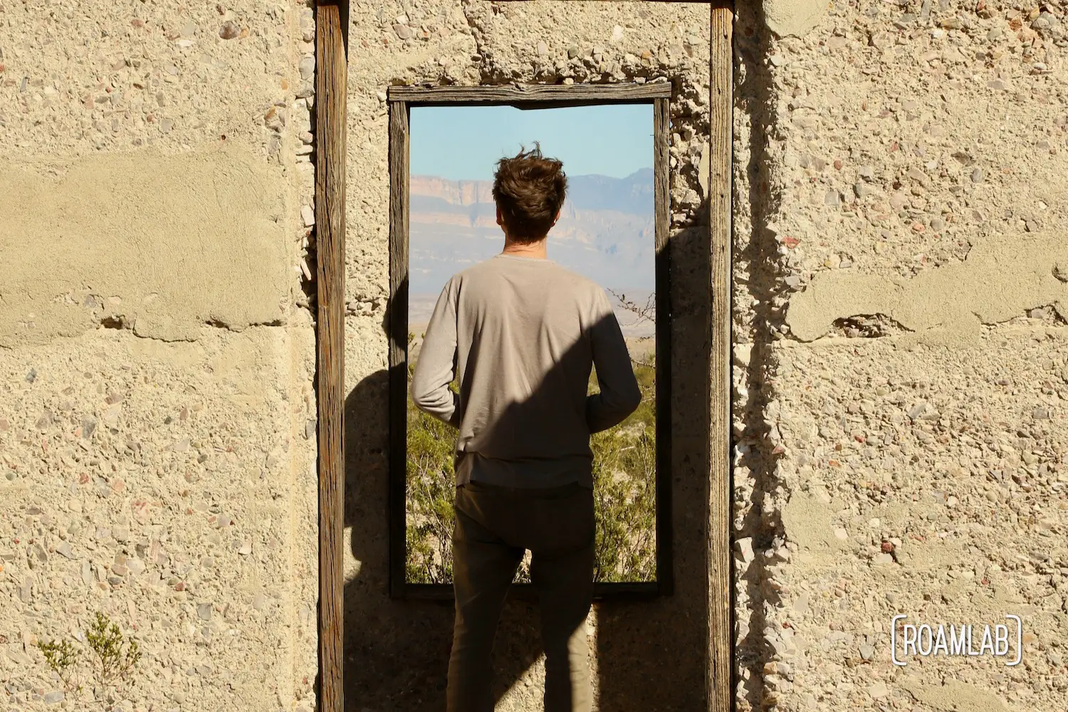
Visiting Mariscal Mine
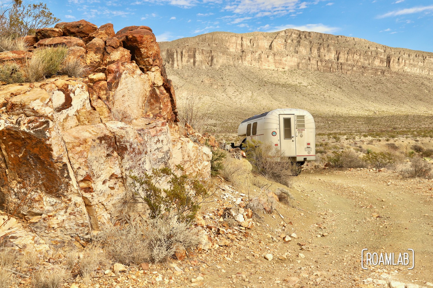
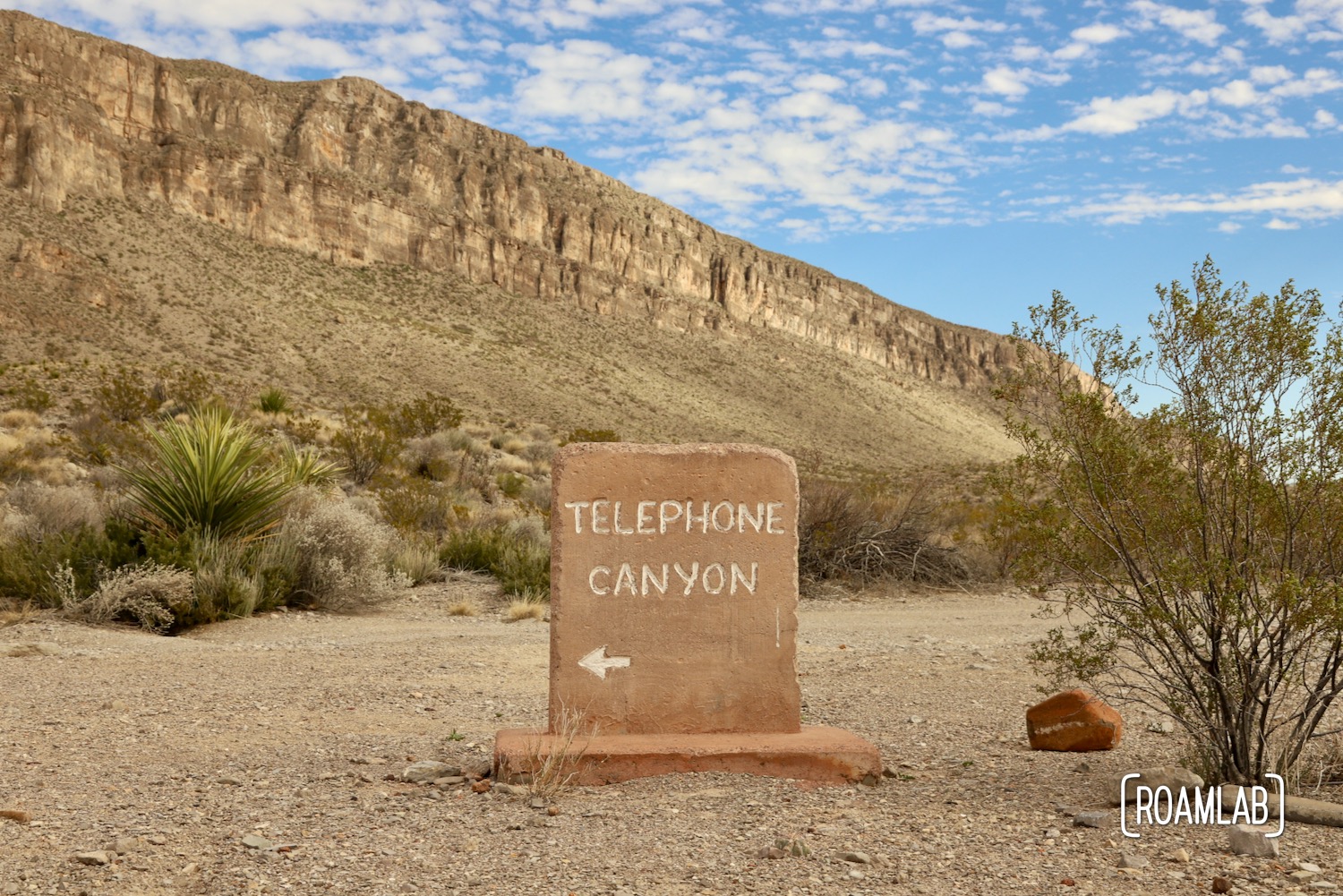
While the mine may be closed, the property isn’t and we can explore it. Some parts of the mine have been blocked off for safety, but much of the remains are hikeable. Of course, reaching it is another matter. This ghost town is only reachable by the dirt back country roads. Fortunately, River Road East, which is the easiest means of accessing the trail head is a relatively flat trail. 2-wheel vehicles with modertate clearlance should have no problem covering the 20 miles of dirt and gravel to reach the mine, provided it hasn’t rained recently. In which case, 4-wheel drive may make all the difference in overcoming a few muddy spots.
Whatever you do, don’t trust the Google Map directions. For example, if you are starting at Panther Junction Visitors Center, Google Maps will direct you down Black Gap Road. That’s a route best left to properly equipped and seasoned drivers. But you wouldn’t know that from the directions. So, if in doubt, talk to a ranger to approve your route.
Hiking to Mariscal Mine
The trailhead starts at a small dirt parking lot. This narrow dirt route may be short, but the elevation gain can be surprisingly demanding. Be sure to carry proper sun protection and water for hydration. Once in the heart of the operation, there is a lot to explore. The greatest dangers, such as mine shafts, have been closed off, but there are still some slippery stretches and dangerous drop-offs to be aware of.
Just be careful to wash up after exploring these remains (especially the bricks). Because you might know quicksilver by another name: mercury. While the dangers of mercury poisoning are known today, back in the day, the resulting poor coordination, memory problems, and trouble seeing, hearing, or speaking was considered a quirk among professionals that coincidentally used quicksilver, namely: hatters. The Mad Hatter of Alice and Wonderland is generally considered a hat tip to the tragically common complications of regularly handling quicksilver in the felting process.
So be careful! Don’t handle the red bricks at Mariscal Mine. Wash up before eating. And have fun exploring.