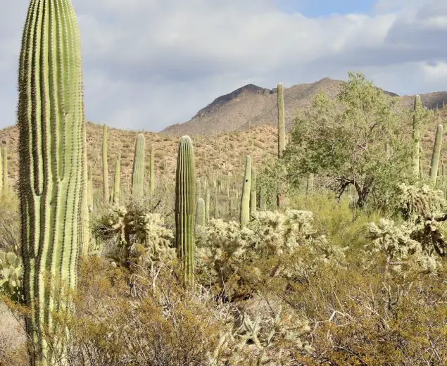
A Prickly Forest
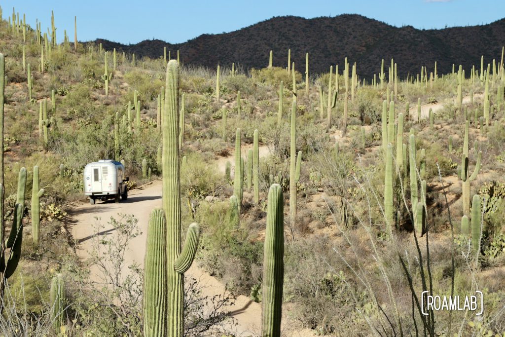
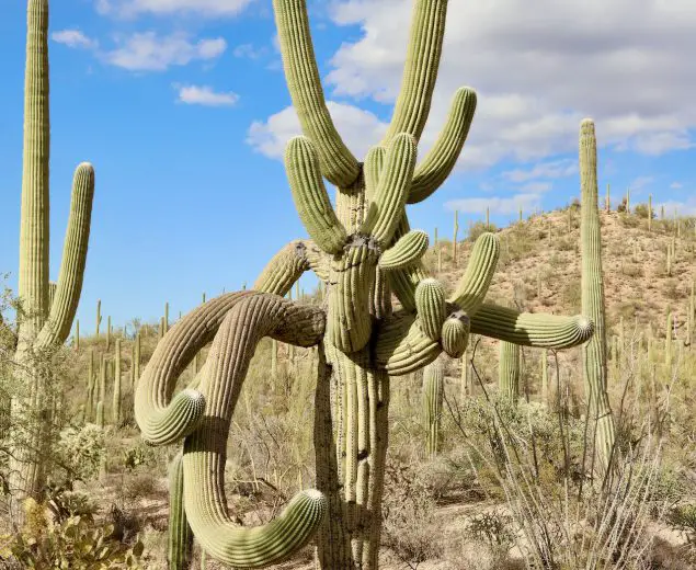
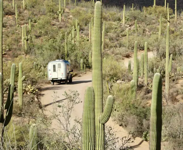
The shockingly tall profile of a saguaro cactus is arresting on its own. But a forest of them, as found in Saguaro National Park, is hard to comprehend. This preserve on the outskirts of Tucson, Arizona, is a forest of oddities scaling desert slopes. And for those ready to step into an alien world, there are many opportunities to hike and explore.
Visiting Saguaro
This collection of cacti sits on the outskirts of Tucson, Arizona. It’s one of the more accessible parks for its proximity to a major metropolitan population. But that doesn’t mean that there aren’t plenty of dirt trails to explore among these prickly giants. In fact, a surprising amount of the park is only accessible by dirt or gravel roads, such as the Scenic Bajada Loop Drive. And despite its proximity, many trailheads have surprisingly small parking areas. So be cognizant of potential traffic and either arrive early or have fallbacks if you can’t get a parking spot.
Maps of Saguaro National Park
Saguaro National Park is a preserve in two parts. Tucson Mountain District to the west, Rincon Mountain District to the east, with the sprawling population of Tucson, Arizona in the middle. While they are only separated by 30-miles, the two districts offer two different experiences of southern Arizona’s desert.
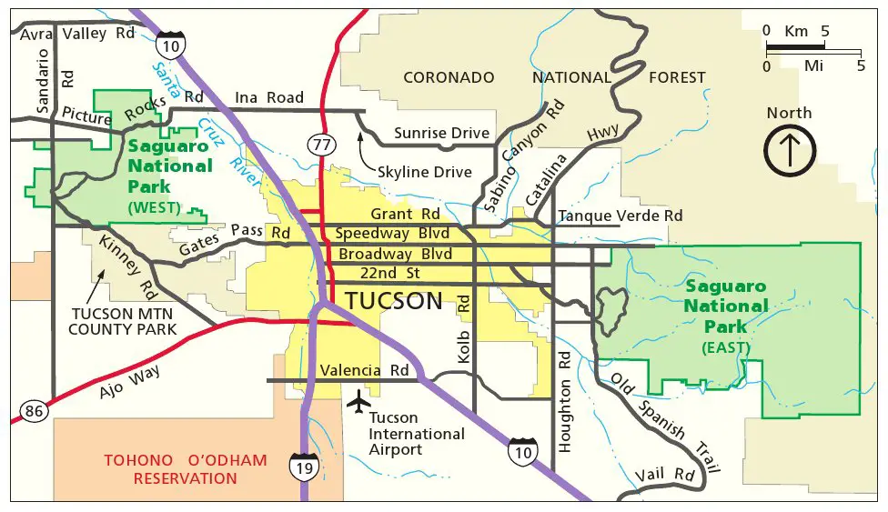
Map
Tucson Mountain District
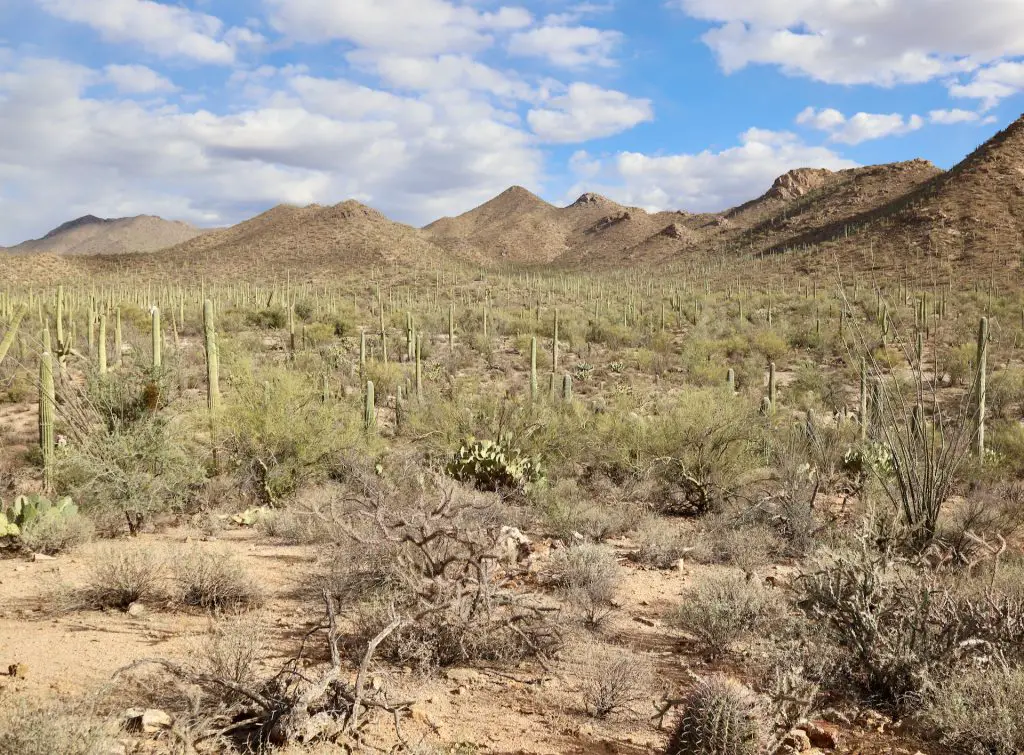
Tucson Mountain District encompasses the portion of Saguaro National Park that is just west of Tucson, Arizona. The Tucson Mountains form a physical barrier between the metropolis and most of the park grounds. Despite its proximity to the city, vistas from the park are open deserts and this region is particularly notable for its dense saguaro forest.
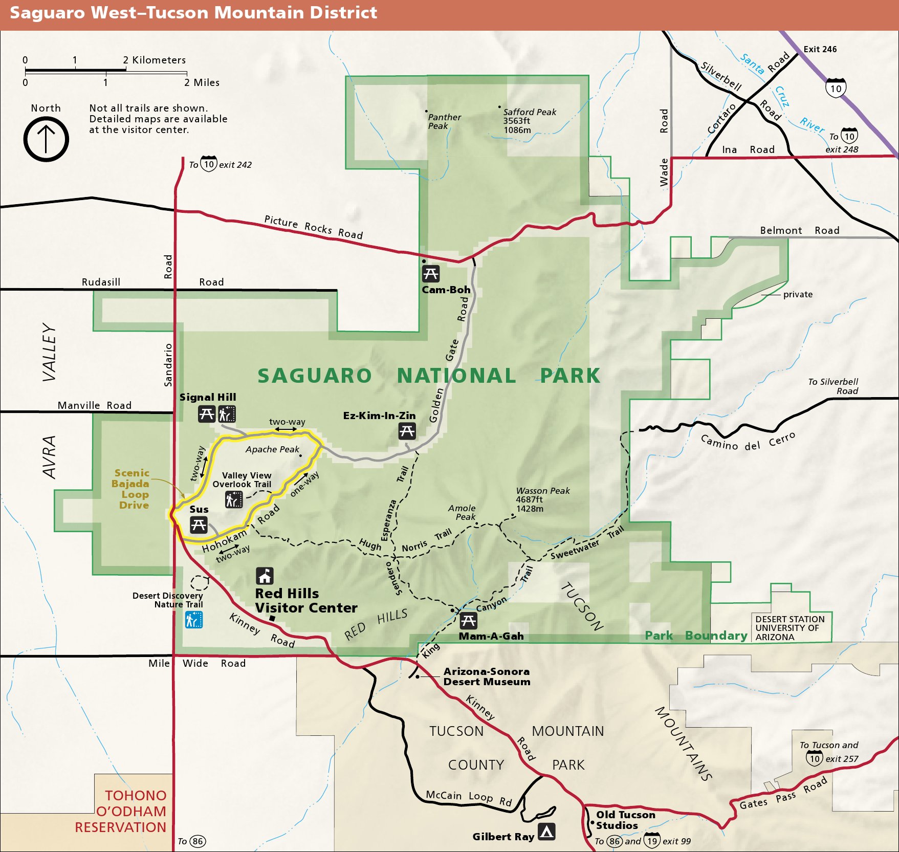
(West Saguaro)
Rincon Mountain District
Rincon Mountain District is only a 30-minute drive east of downtown Tucson, Arizona, and 30 miles from the Tucson Mountain District. Also known as Saguaro East, this district is known for its sky island, a unique habitat to bears, cougars, and coatimundi.
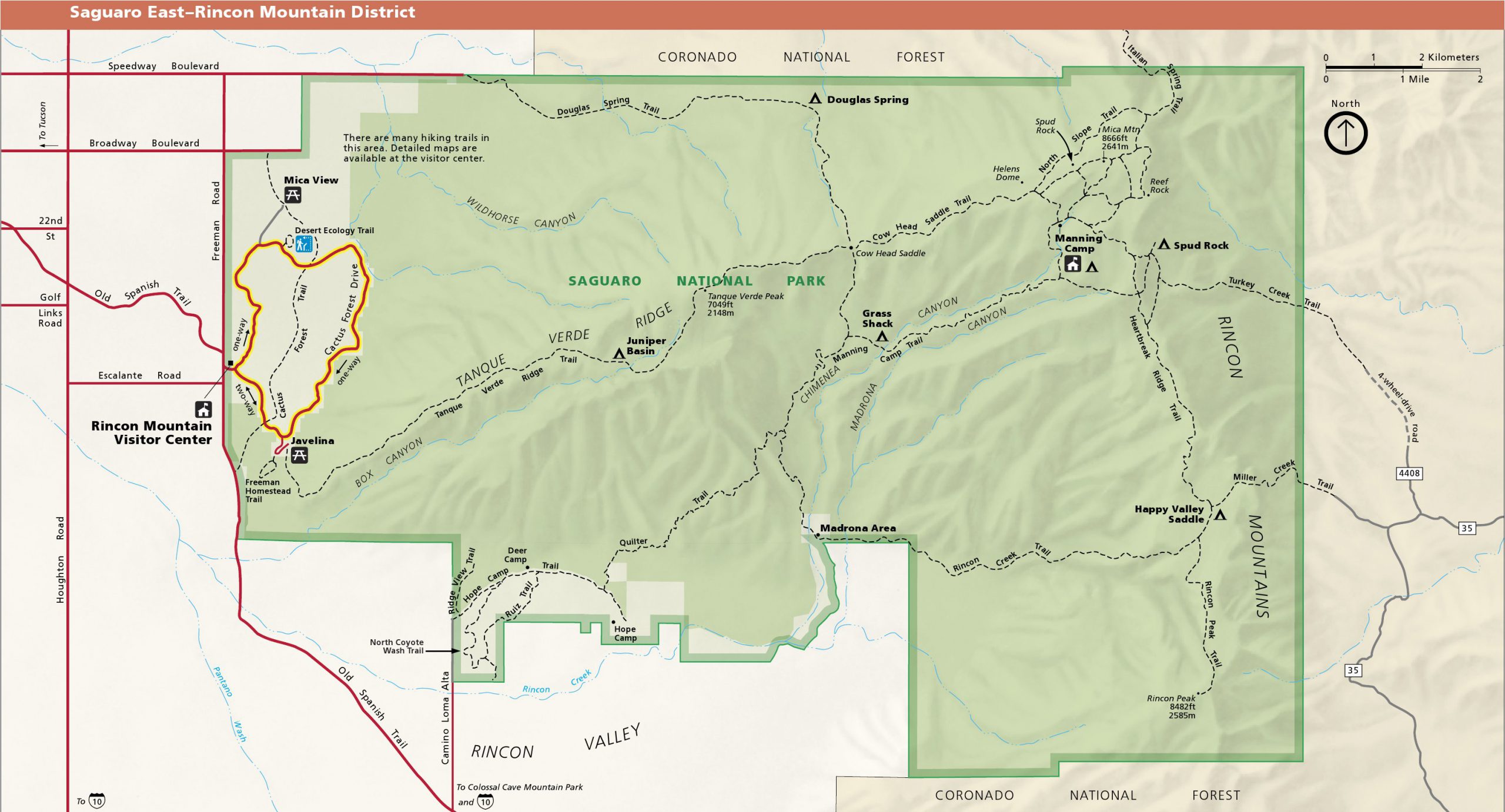
(East Saguaro)