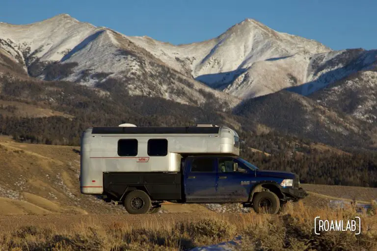
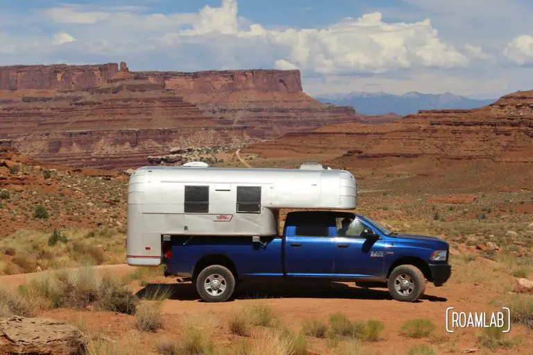
Everyone has different ways by which they plan a route. Frankly, for the most part, we don’t. We know where we are. We often have a sense of where we want to go. But what happens in between is between the road and ourselves. That can mean camping in anything between a National Park Campground or a Walmart Parking Lot. More often than not, though, we hunt out some form of public land—the more remote the better.
For us, state parks, National Forests, and Bureau of land Management land is our most common go-to campsites. This land is often less developed, less accessible, and, therefore, less popular. For people like us who travel without reservations, this combination means that, more often than not, we can find some place to stay for the night or the week, with little trouble.
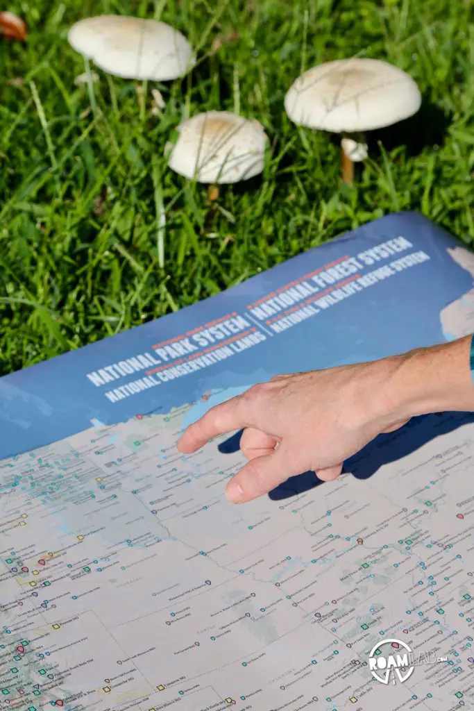
Of course, knowing what public lands are available nearby can be a tough prospect when you don’t know the area. Searching for “camping” on Google Maps is just as likely to bring up a private campground as a public one—which is not our scene. In fact, more often than not, our favorite places to camp won’t even show up in such a search because it is simply a region that allows dispersed camping. I just received a handy poster from Best Maps Ever that lays out National Parks Service, United States Forest Service, Bureau of Land Management, as well as Fish And Wildlife sites across the United States. While it can’t be comprehensive—public land comes in many varieties and can’t all fit on a 24×36″ poster while remaining readable—it is illustrative. When so much of my planning is done on a small smart phone, it is liberating to roll out this map that isn’t wasting space with information I don’t care about and only presents what I do: public land. My only concern is how quickly I will destroy it through overuse.
What is your preferred method of locating way points along a road trip?


