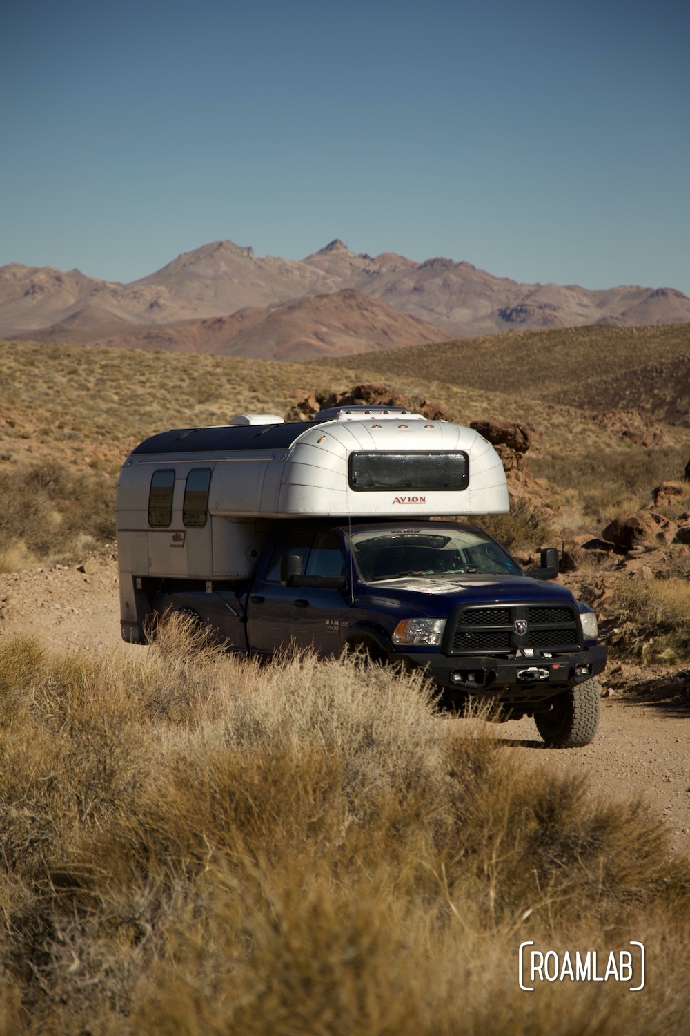
Titus Canyon Road
Death Valley is a park meant for vehicles. Stretching 140 miles in length, the Valley is full of attractions
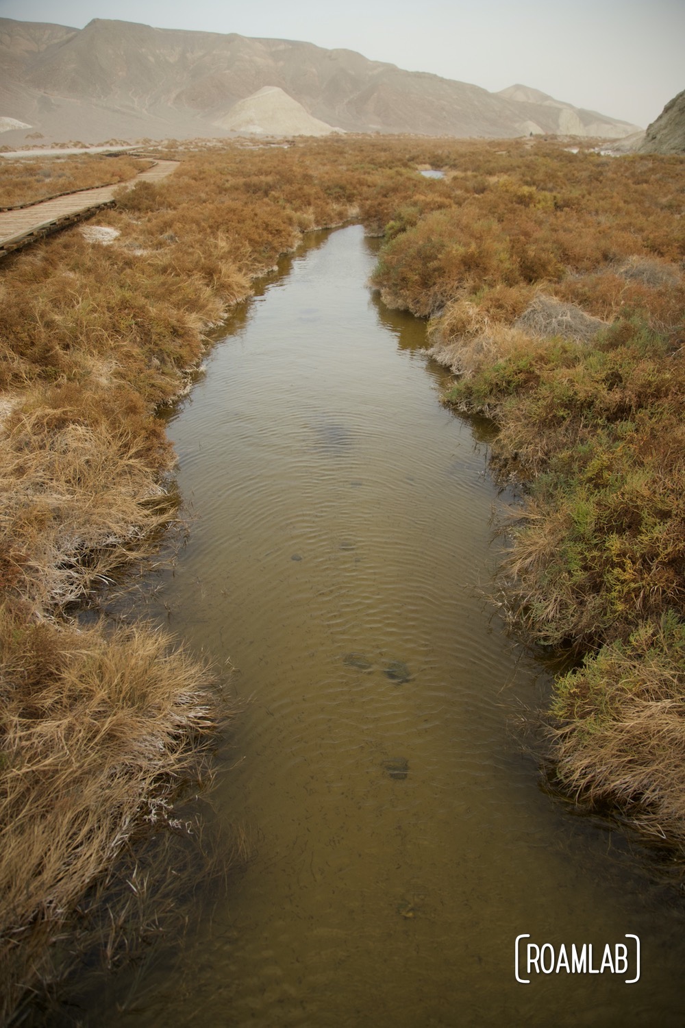
Salt Creek Interpretive Trail
In a notoriously hot and dry environment such as Death Valley National Park, Salt Creak's presence on the desert floor
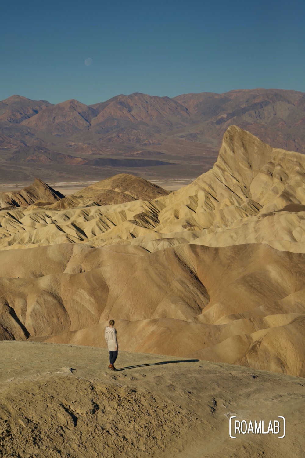
Zabriskie Point
There's no shortage of dramatic rock formations in Death Valley National Park. But one that is (arguably) the most
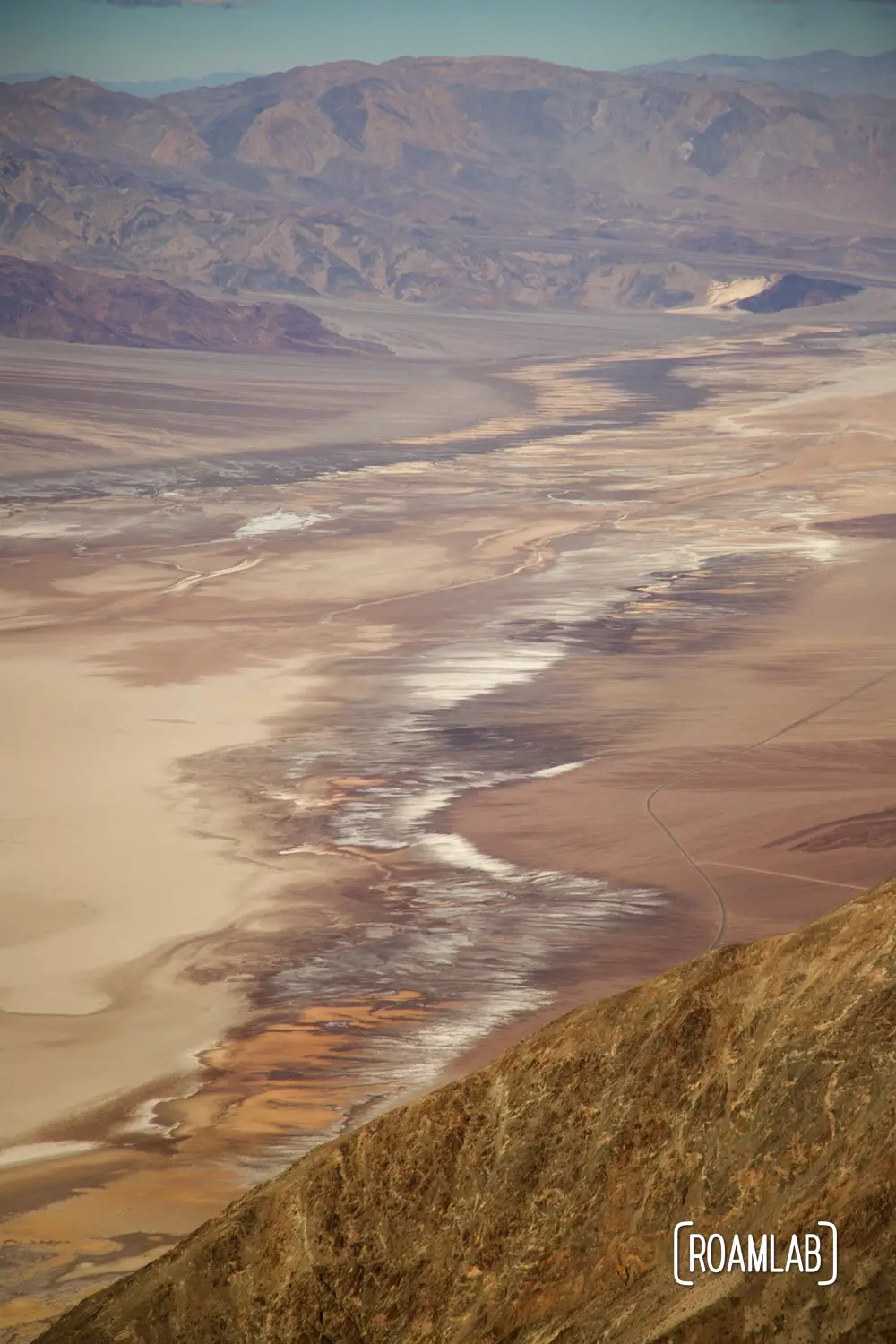
Dante’s View
So many of the iconic stops in Death Valley are on the valley's floor. Badwater, the Sailing Stones, and
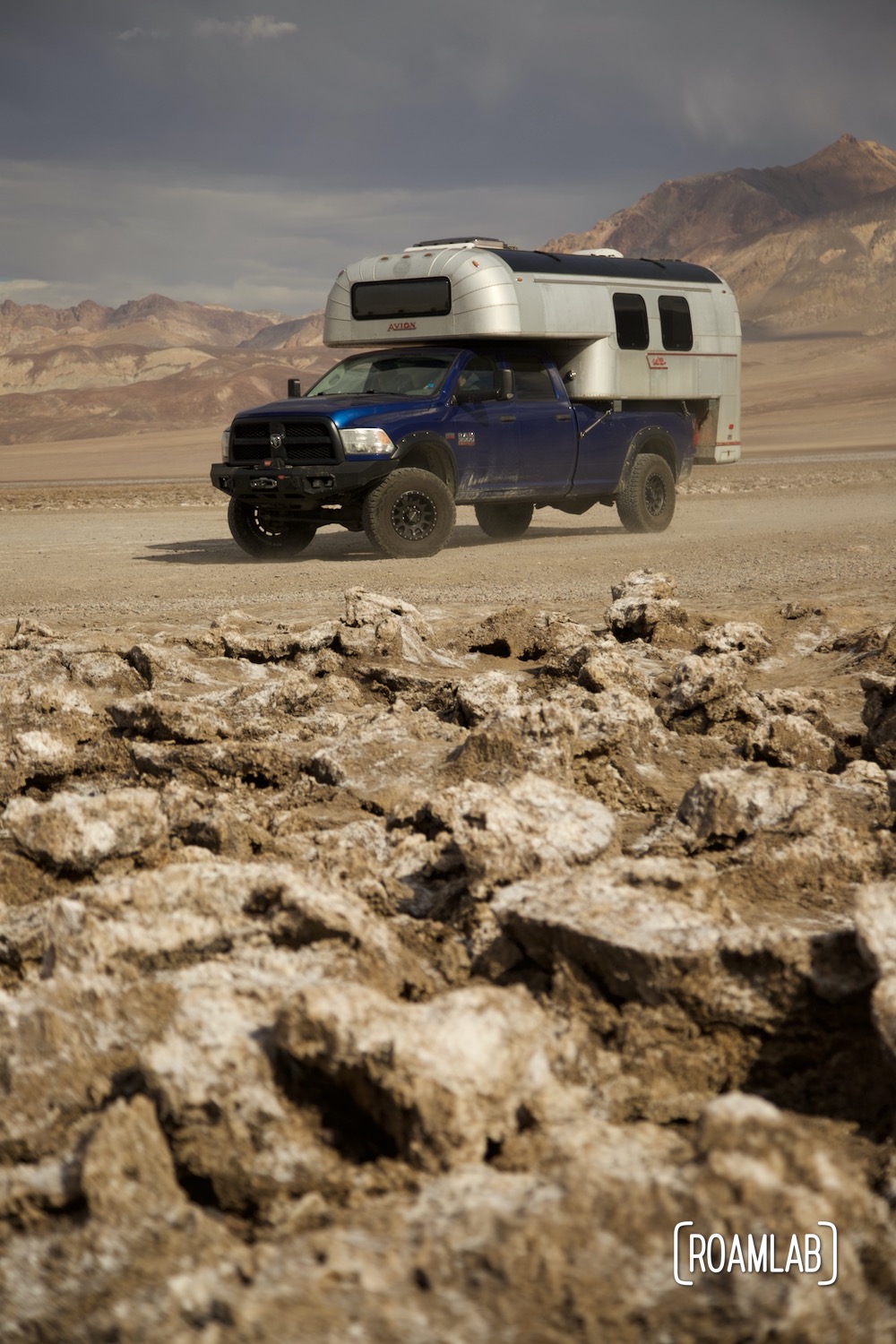
Devils Golf Course
Devil's Golf Course is host to large rugged halite salt crystal formations in Badwater Basin on the floor of Death Valley National