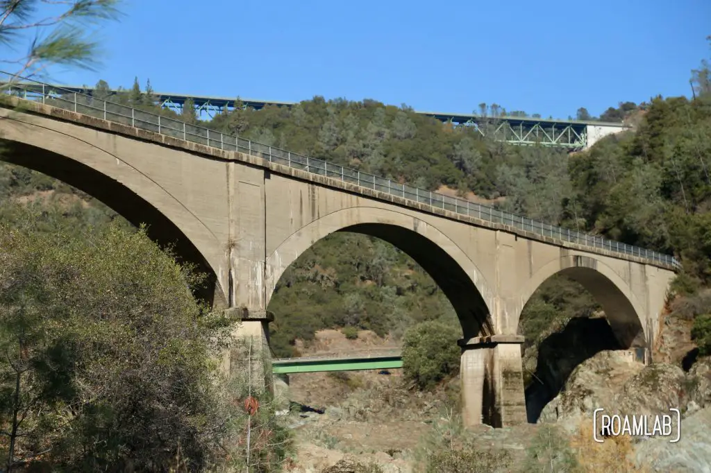
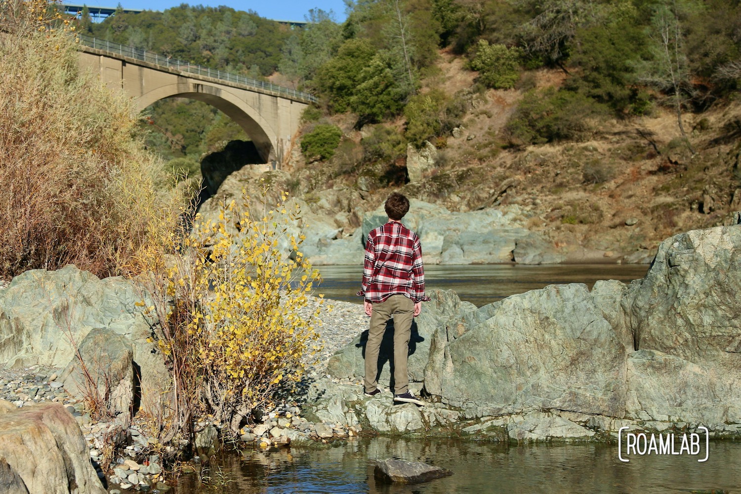
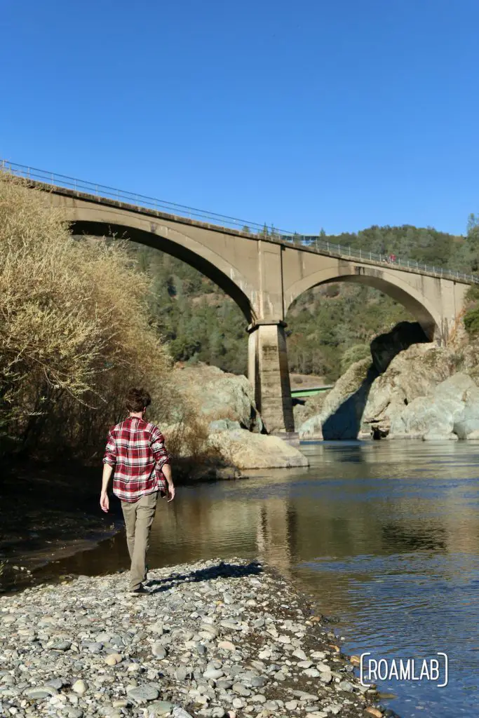
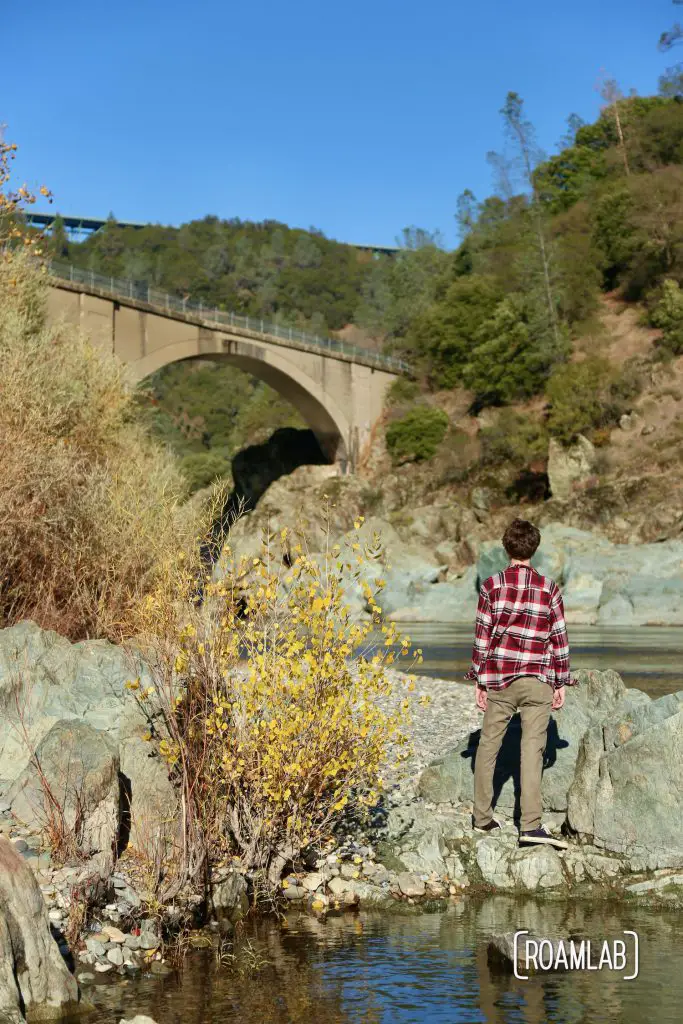
Standing 150 feet above the North Fork of the American River and stretching 482 feet, the Mountain Quarries Railroad Bridge is a historic lands mark turned popular hiking trail just outside of Auburn, California’s cute and colorful old town. The beautiful views, many recreation options, and easy access from Highway 49 make it a popular family destination. But its rich history makes it a point of fascination to curious wanderers such as us.
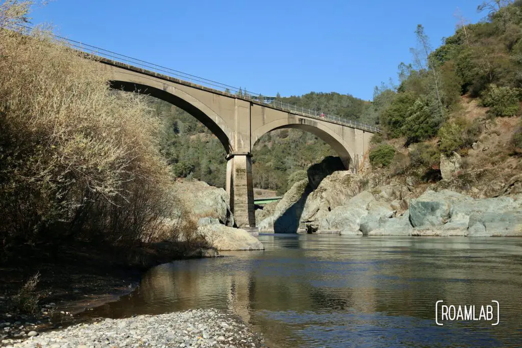
“Mountain Quarry Bridge,” “Railroad Bridge,” & “No Hands Bridge”
“Mountain Quarries Railroad Bridge” connects Placer and El Dorado Counties in California’s gold country. It is built by the Pacific Portland Cement company to connect a nearby limestone rock quarry to the main line of the South Pacific Railroad. The Cool Quarry supplies limestone for manufacturing cement and refining sugar but requires a rail line to travel the 7 miles to connect to the Southern Pacific near Camp Flint. John B. Leonard designs the bridge. Leonard is a pioneer of design and engineering in California and the Mountain Quarry Railroad Bridge is expressive of his signature work with reenforced concrete. At the time, the building material is considered experimental, and yet the project proceeds with 300 men working away. After two years of construction, the concrete wonder is completed on March 23, 1912 for a grand total of $300,000, and dubbed the “Mountain Quarry Bridge.”
This bridge stands as an engineering marvel of its time: the first concrete bridge of its kind in North America and longest concrete arch bridge in the world.* It has lasted long enough to earn numerous names: “Mountain Quarry Bridge,” “Railroad Bridge,” “Mountain Quarry Cement Bridge”, “American River Quarry Bridge,” “Pacific Portland Cement Company Railroad Bridge,” “Auburn Concrete Arch Bridge,” and finally “No Hands Bridge.” Despite the bridge’s retirement in the 1940s, this impressive bridge has survived many younger bridges in the area and achieved icon status. **
Mountain Quarries Railroad Bridge does experience a brief return to service after the Hell Hole dam floods. In December 1964, the Hell Hole Dam breaks and takes out two modern bridges up stream. Yet, the Mountain Quarries Railroad Bridge survives. With the loss of the modern traffic throughways between Auburn, Cool, and Georgetown, the Mountain Quarries Railroad Bridge becomes a critical point of connection for six months until new routes are established.
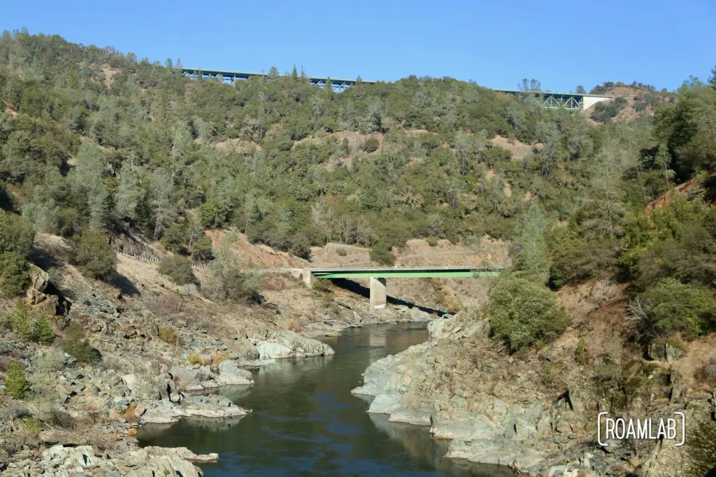
Visiting the “Mountain Quarries Railroad Bridge”
Today, the “Mountain Quarries Railroad Bridge” marks the starting point of many hiking trails trough the Auburn State Recreation Area. Outdoor enthusiasts park along Highway 49 to access the trails and explore the North Fork of the American River. While it is one of many bridges spanning the canyon today, it stands out for its age and unique construction. On February 11, 2004 the bridge joined many other notable structures on the National Register of Historic Places by the United States Department of Interior after extensive local campaigning. If you are traveling through, pack a picnic for the “Mountain Quarries Railroad Bridge” and bring your hiking shoes for an adventure!
Resources
“No Hands Bridge” County of El Dorado
* at the time it was constructed
** The 1986 “Valentines Day Flood,” submerged the No Hands Bridge and destroyed a dam two miles down river.
