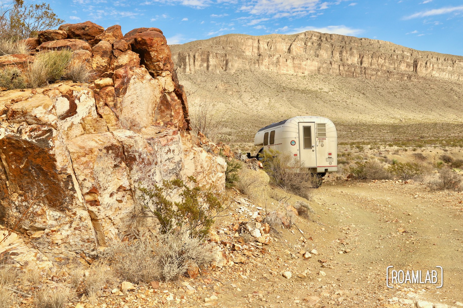
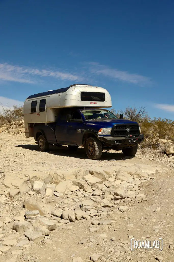
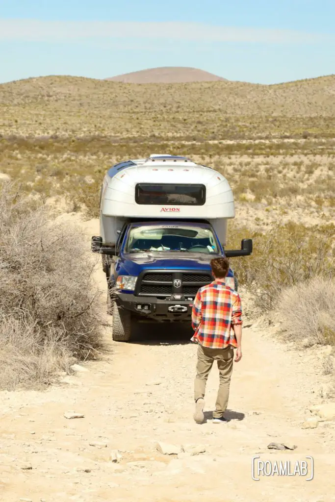
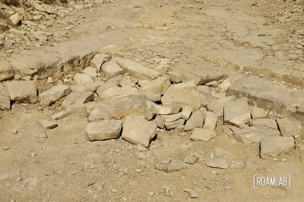
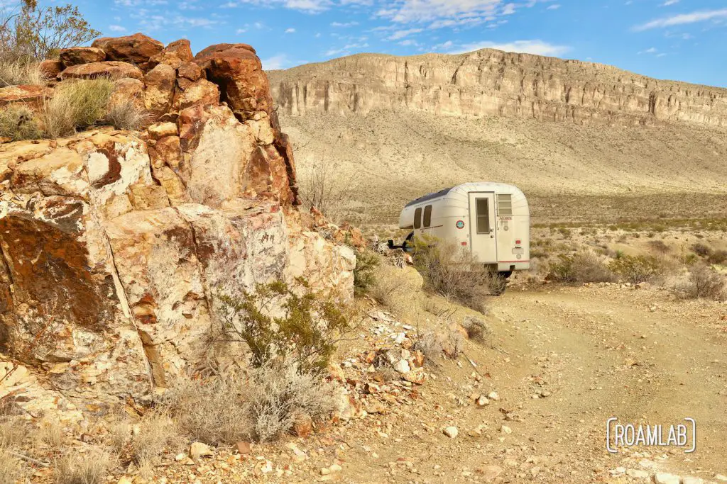
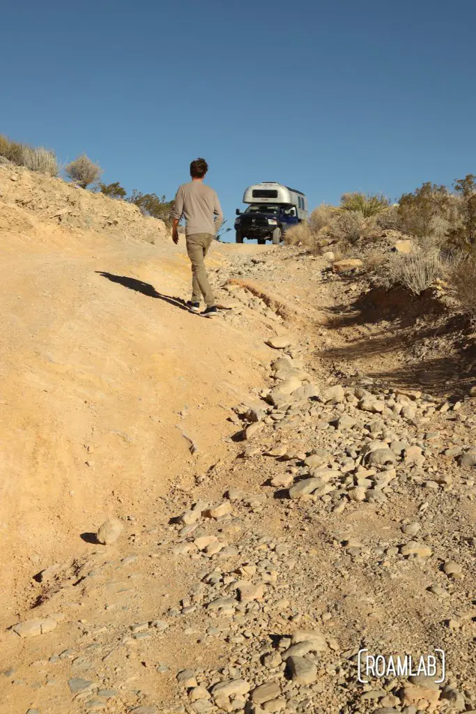
The rock outcroppings on Old Ore Road are deceptive. From above, they may look like a bit of slate, but they reveal themselves to be a massive step where the unwary driver can easily bottom out from the side. Fortunately, there are two of us on this rough and tumble adventure, and with a little teamwork, we tackle one of Big Bend National Park’s more challenging backcountry roads.
Driving Old Ore Road
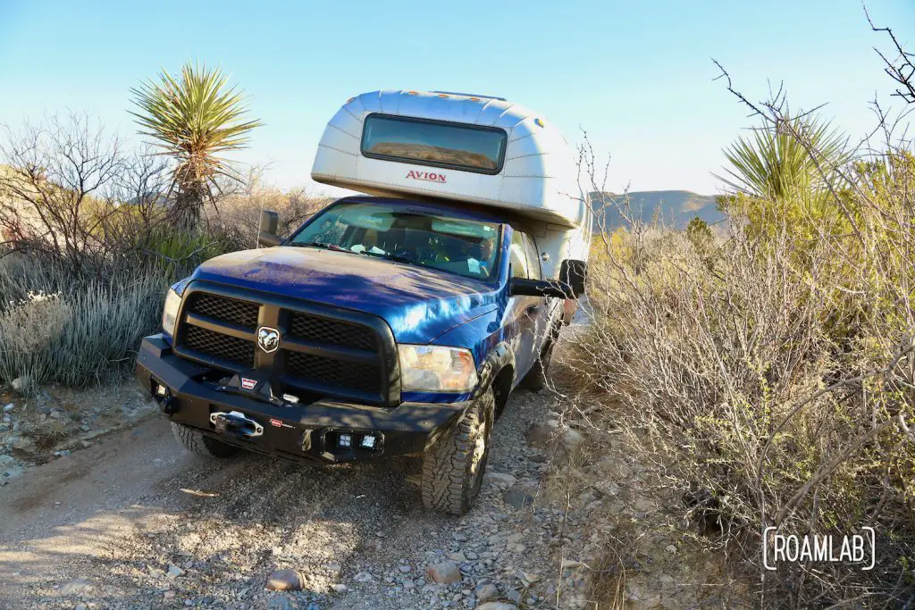
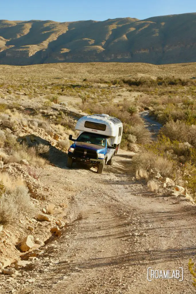
In National Parks, I usually expect rangers to overstate the challenges of a trail lest some overconfident tenderfoot strands themselves in the backcountry. But the high clearance requirement for this trail is no joke. The rocks and ruts remind us of particularly cumbersome sections of the Rimrock Trail. We find ourselves crawling over rock outcroppings in 4-low rather than driving. Old ruts reveal sections where recent rains trapped overzealous wheels.
Those who follow events in overlanding may recall the Unimog that tipped over in Big Bend last year. This was the trail. Unimogs make fantastic overland rigs. But the oversized body that allows for extra luxurious space also makes it dangerously top-heavy on the rough, rutted roads such as Old Ore. I don’t know if the 25-foot limit for vehicle length on Old Ore was instated at the time, but today, that Unimog would be too large to travel this trail legally.
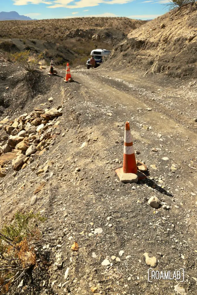
But if you want to get away from it all, this is the trail. Few other trucks or jeeps dare to tackle this flagged route. We encounter 2 vehicles along the 26-mile stretch from Dagger Flat Auto Trail to the southern terminus on Old Maverick Road. (We also spot two border patrol trucks just off the road, a good ten miles from any pavement. Likely due to the southerly terminus being so close to Boquillas Crossing, a popular port of entry into Mexico within the park)
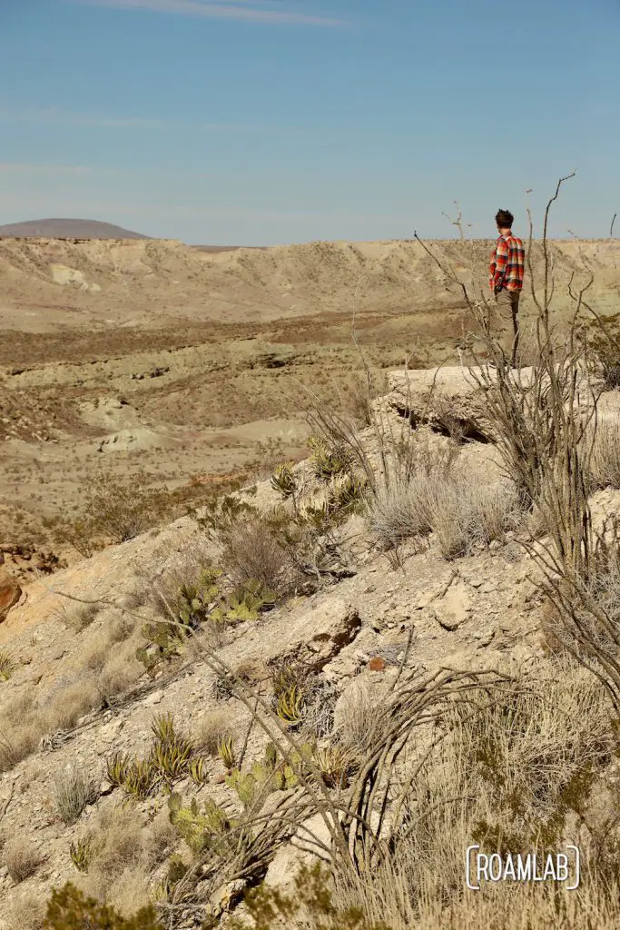
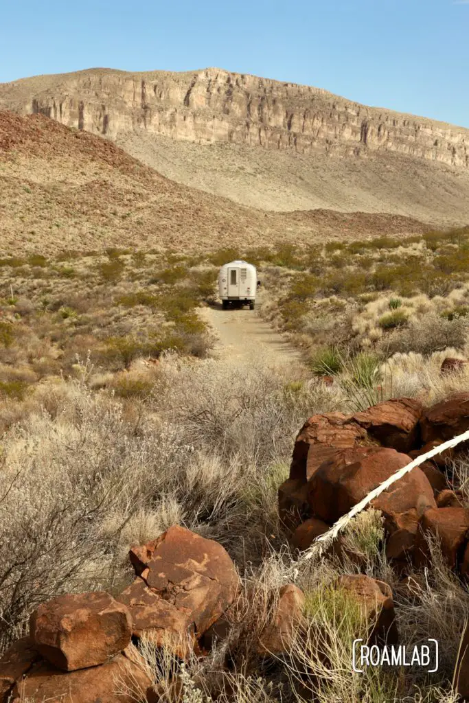
While the route may start with a rather mundane level desert, the terrain shifts and drops away as Old Ore Road skirts a ridge over Tornillo Flat. The trail continues with views of the mountains to the west and dipping into washes.
Things to be aware of
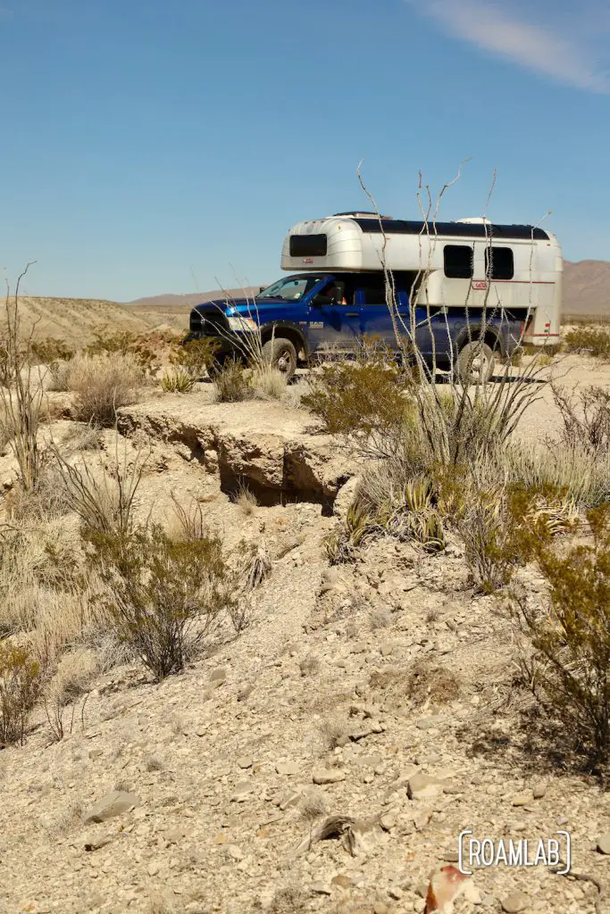
The trouble spots along Old Ore Road are mainly washes and the occasional hill where years of rain have exposed large, sharp out croppings of stone, resulting in dangerously uneven sections. These are also the rare occasions where vegetation grows high enough to potentially obscure visibility and narrow the trail. Though, the vegetation is never high enough to cause any concern of overhead clearance.
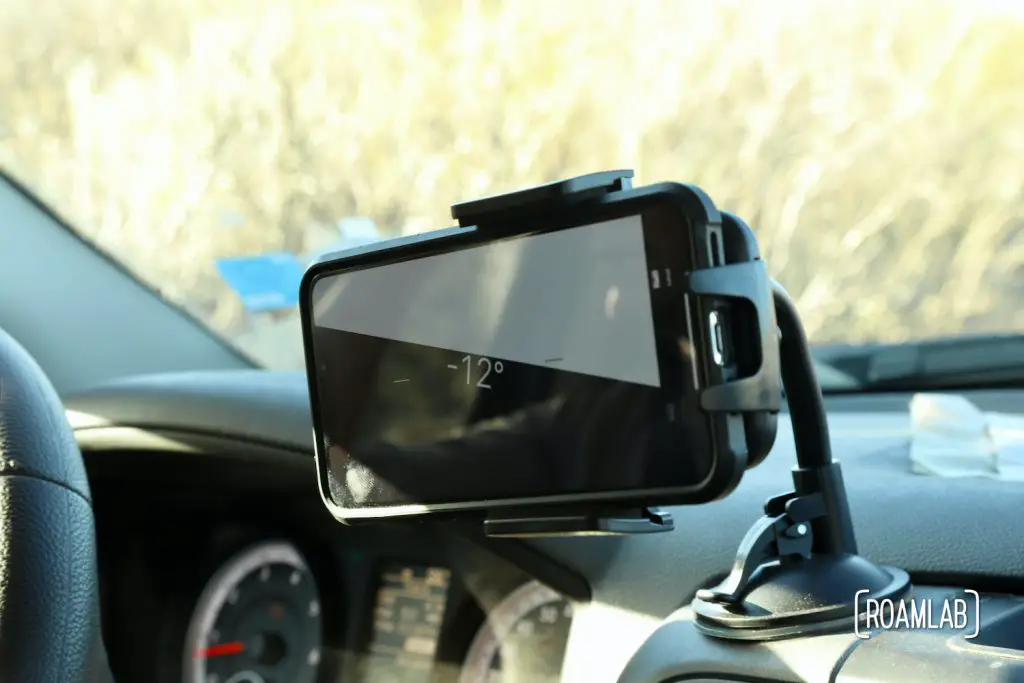
Fortunately, there are only a few switchbacks, cliffsides, or sandy stretches. So the greatest risks while driving this trail are bottoming out and damaging some part of the undercarriage, popping a tire on sharp rocks or vegetation, or tipping over on the uneven ground.
So, the key takeaways are pretty standard: take it slow, and don’t hesitate to hop out and walk stretches of the road. Some of the most treacherous stretches are easily overlooked from the driver’s seat. I did a lot of spotting through some of the rougher sections while also keeping an eye out for the rattlesnakes local to this region.
Be sure to gas up before starting the road. There is a gas station at Panther Junction, a little over 10-miles from the northern terminus of Old Ore Road. We generally get 14mpg but only managed 4.6mpg on the trail. Which makes sense when we are either in 4-wheel drive or 4-wheel low for most of the trek.
Choosing an Entry Point
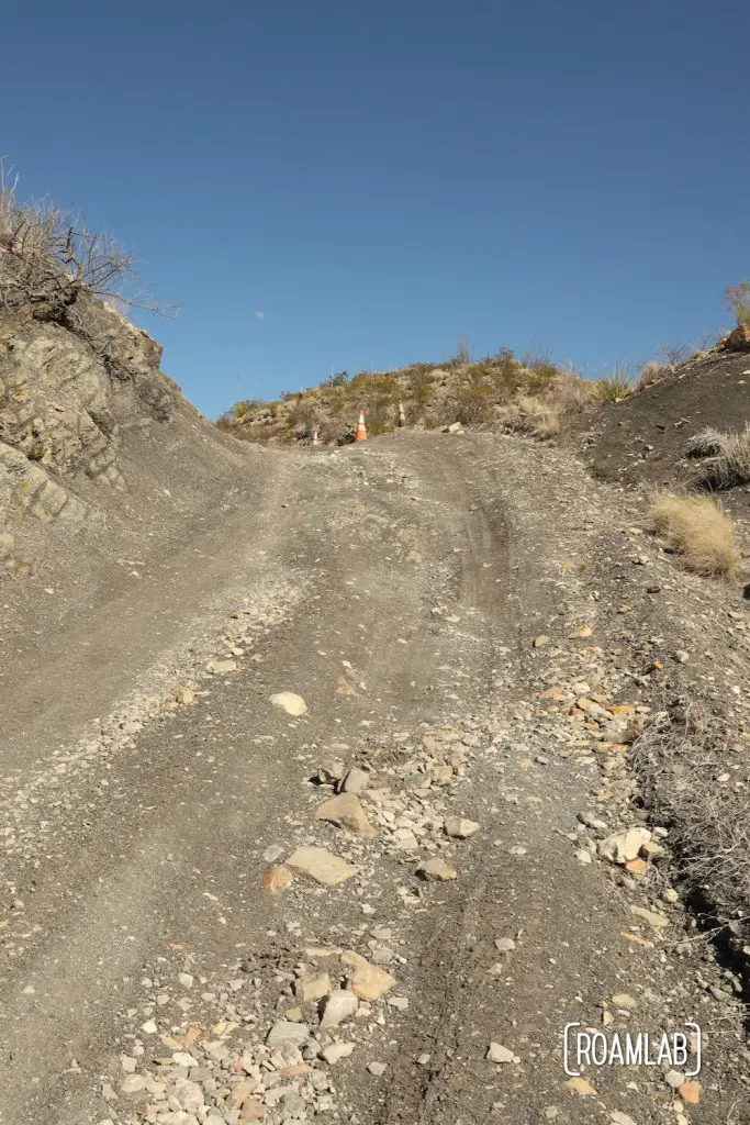
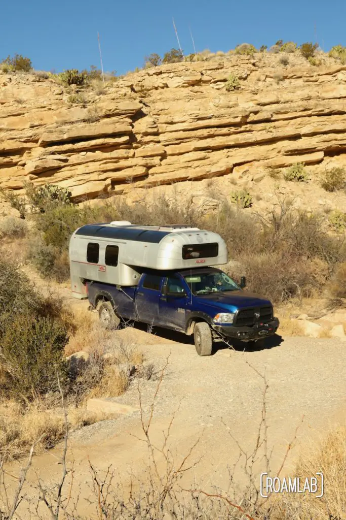
The northern terminus of the Old Ore Road is at 2,920 feet elevation, and the road drops to 2,060-feet at the southern end. This translates to an 860-foot drop in elevation and potential gravity that could be working for or against us depending on what direction we are traveling. There were several descents where we felt grateful, in hindsight, to be traveling south. Indeed, several rangers told us that the southerly stretch was more challenging than the northerly stretch. But after driving the entire length of Old Ore Road, we didn’t find the southerly portion significantly more difficult (and arguably easier). Still, we can imagine how it might be a significantly greater challenge coming by the other way. There is a steep hill at the start of the southern terminus, but aside from being steep, there isn’t much to write home about. It seems to be nicely graded and lacks the rocks that define much of this trail. So, while we do not originally have elevation in mind when choosing the direction of our travel, we definitely advise traveling north to south.
Cell Service
Surprisingly, as a National Park and wilderness, the Old Ore Road has occasional cell service. As would be predicted, they are more frequent and sustained at the early parts of the road, but even the middle sections have occasional blips of 3G service. Chris’s Verizon phone generally had better service, but my AT&T phone picked up slack in some dark spots.
Camping on Old Ore Road
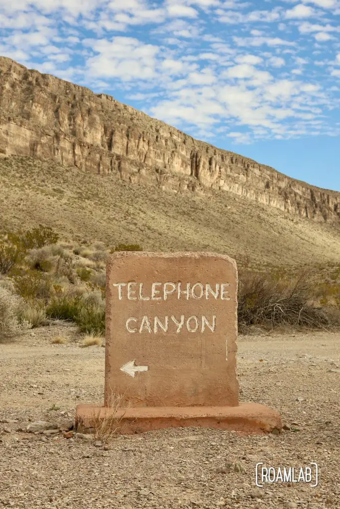
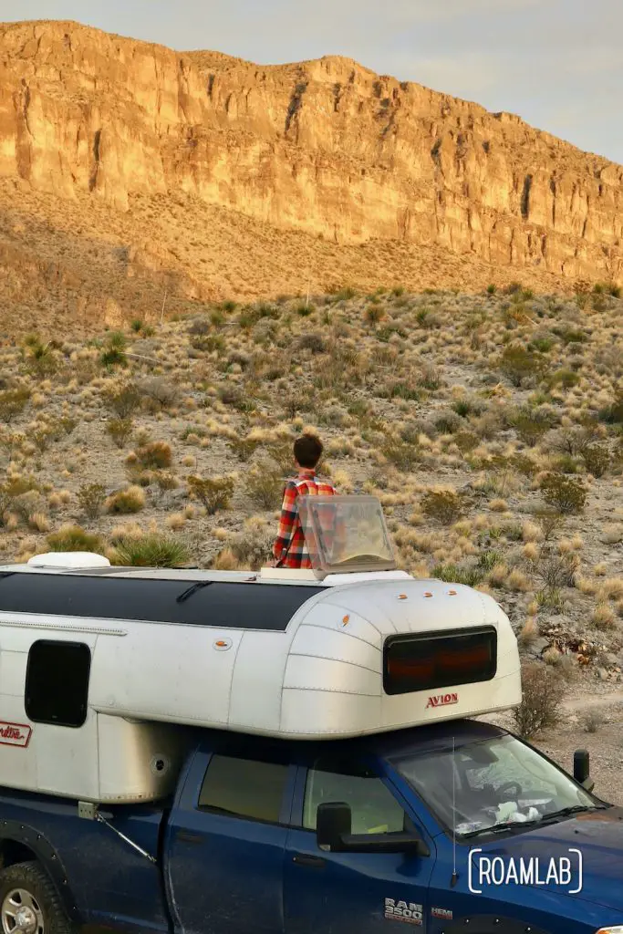
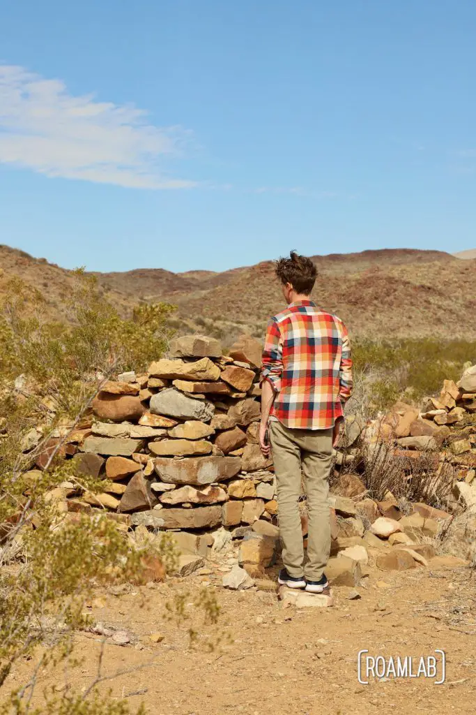
We are fortunate to have a campsite midway through Old ore Road. The Telephone Canyon dispersed campsites are bare-bones as they come: boasting only a designated campsite and bear locker. Tent campers must store food or other smelly products in the bear locker, but our hard-sided camper will suffice.
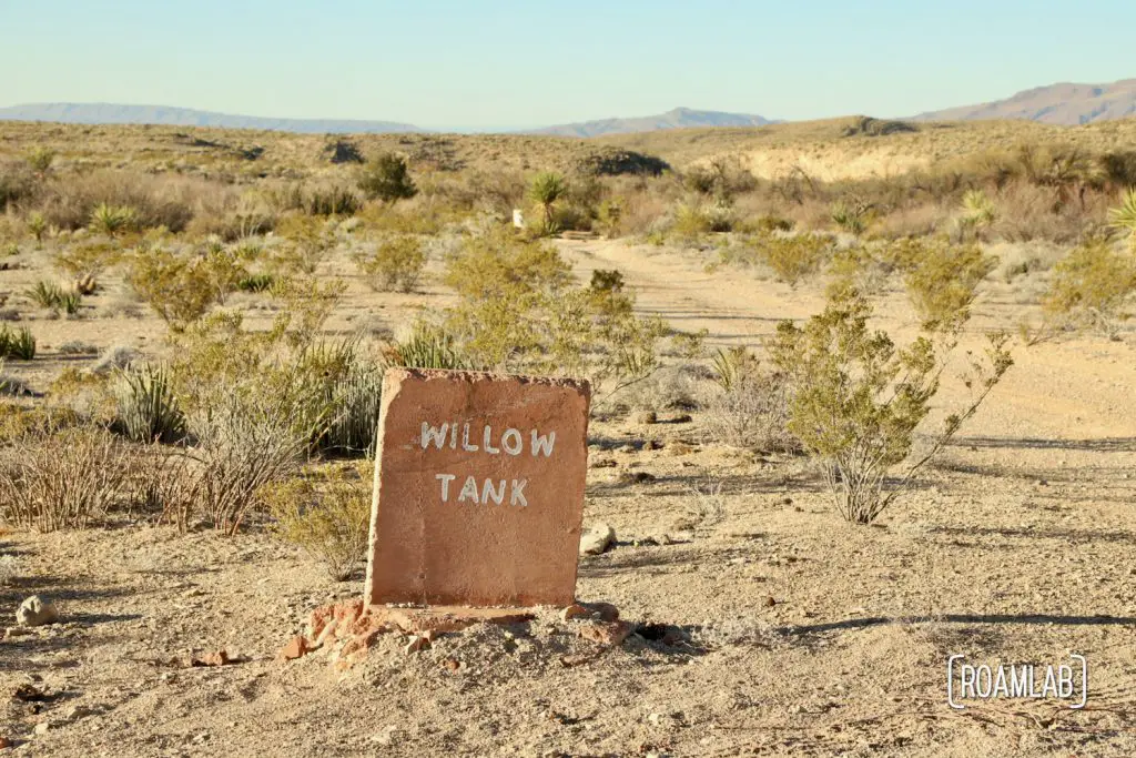
Dispersed campsites are only $10 a night, but they aren’t for the frugal camper. Sure, they are much cheaper than the $30 campsites found across the rest of the park. But, most sites require long drives down a similarly rough road. On the upside, the campsites are clearly marked (as clearly as one can be hoped for backcountry camping)
After a few hours of rough road, we are grateful for the break.
