Painted Rock Petroglyph Site
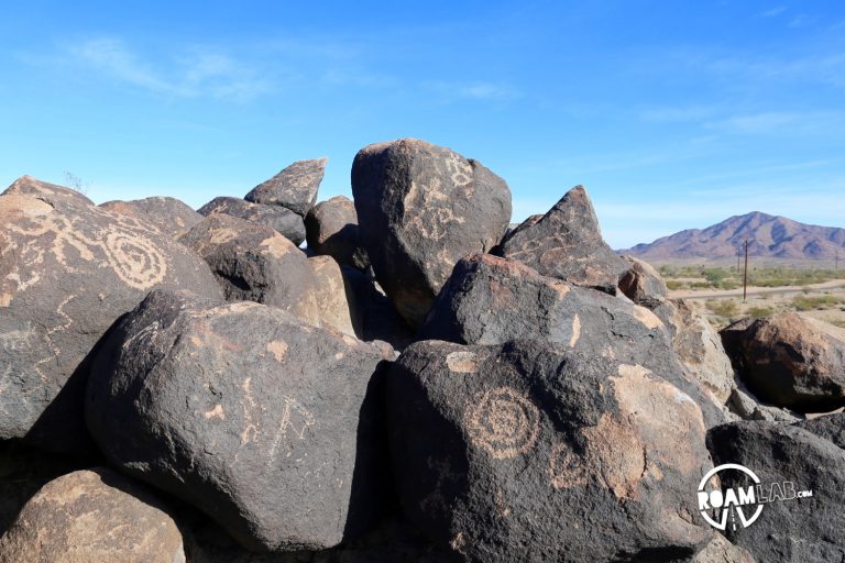
Some stops we plan. Others we do not. We were speeding along highway 8 to the California border so it was not as if we were anticipating any stops. Then I saw the sign for the Painted Rock Petroglyph Site and we had to stop.