Category National Forest Service

Broken Arrow Trail

Taking in the view along Broken Arrow.

There is a reason for the hikes popularity. It's a relatively easy hike, good for all ages, and the views are AMAZING. Each elevation gain calls for another pause to take in the panoramic view. While the route is a 3.2 mile loop with moderate elevation gain, any distance along the trail is worth the view!

Read MoreBroken Arrow Trail

Brins Mesa Trail

There are so many hikes to choose from around Sedona, AZ but Brins Mesa Trail stands out as accessible, athletic, and awe inspiring with vistas along its entire stretch.

Sedona has so many trails in and among the brilliantly colored buttes that the choice of what to hike can be daunting. There are the classics—like Broken Arrow and Devil's Bridge—but the popularity of these shouldn't negate the many other trails. In fact, popularity and small parking lots can be a compelling reason to focus on alternate trails, especially later in the day.

Read MoreBrins Mesa Trail

Forest Road 525C

Like any tourist destination, finding a place to stay is a challenge. Most campgrounds are booked out in advance. But, if you have 4-wheel drive and a willingness to rough it without facilities, there are undeveloped campsites with amazing vistas along Forest Road 525C.

Like any tourist destination, finding a place to stay is a challenge. Most campgrounds are booked out in advance. But, if you have 4-wheel drive and a willingness to rough it without facilities, there are undeveloped campsites with amazing vistas along Forest Road 525C.

Read MoreForest Road 525C

Little Missouri Falls

The Little Missouri Falls

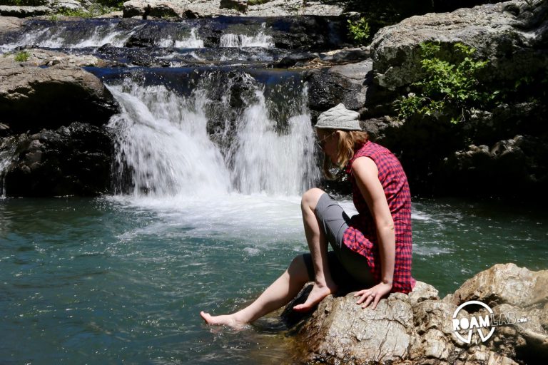
Seven miles down a moderately managed dirt road in the Ouachita National Forest is the Little Missouri Falls. The drive is pretty doable for any car in the proper conditions—there is a creek crossing that could cause trouble after a heavy rain—but the reason to drive this road is the swimming hole at the end.

Read MoreLittle Missouri Falls

Oh! Ridge

Oh! Ridge, indeed. California Vistas

It's hard to believe that just a few days ago we were sweating it out in Death Valley. Now, we are perched above June Lake, with a view that takes reservations to procure, and a smug sense of satisfaction. The only down side with the picturesque Oh! Ridge Campground, though, is the wind. It sweeps over the lake and hits us with a ferocity that I though was reserved for a response to the dozens. I haven't said anything mean about June Lake's mama, but the wind is certainly fierce.

Read MoreOh! Ridge

Big Pine Creek North Fork Trail

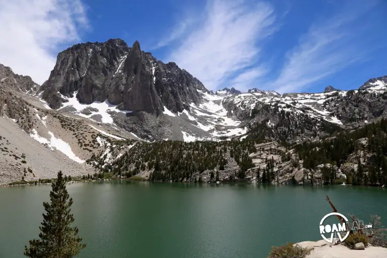
"Almost there" can be a promise or a threat. A lot of the deciding factor can come down to if the speaker actually knows if they are "almost there" or not. We didn't know if we were "almost there" when hiking the Big Pine Creek north fork trail. We had a few pictures of trail maps and no scale bar. So we knew there would be some switch backs, a couple waterfalls, and a couple bridges on our way to the glacier fed lakes of the Muir Wilderness Area, but we thought that four water bottles would be enough.

Read MoreBig Pine Creek North Fork Trail

Cherokee National Forest

We are taking a mini road trip for a few days in the mountains. After visiting some museums it was dark. Too dark. The kind of dark you get when you are driving on a heavily forested road without street lamps and only very small and infrequent road signs. A rational person—upon discovering that the only thing poorer than the road markings was the cellphone reception—might have concluded that any hopes of camping should be abandoned. Instead, we decided to drive on.

Read MoreCherokee National Forest