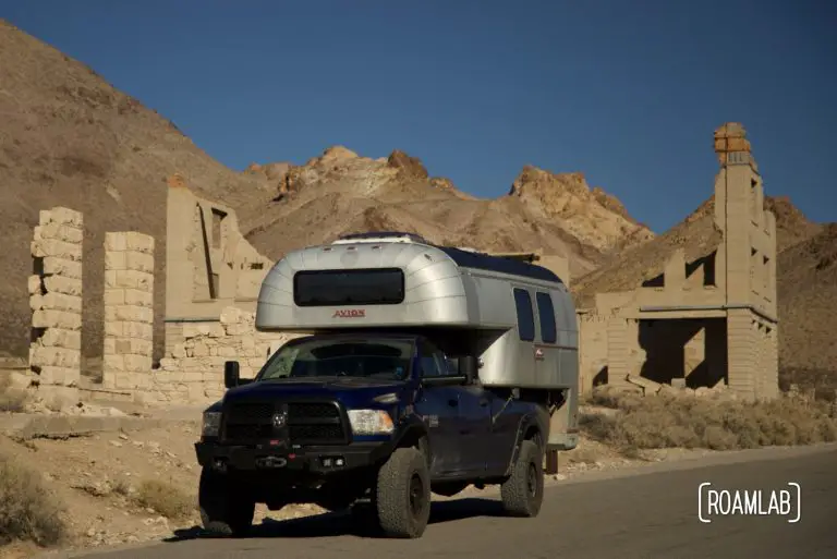
Goldwell Open Air Museum
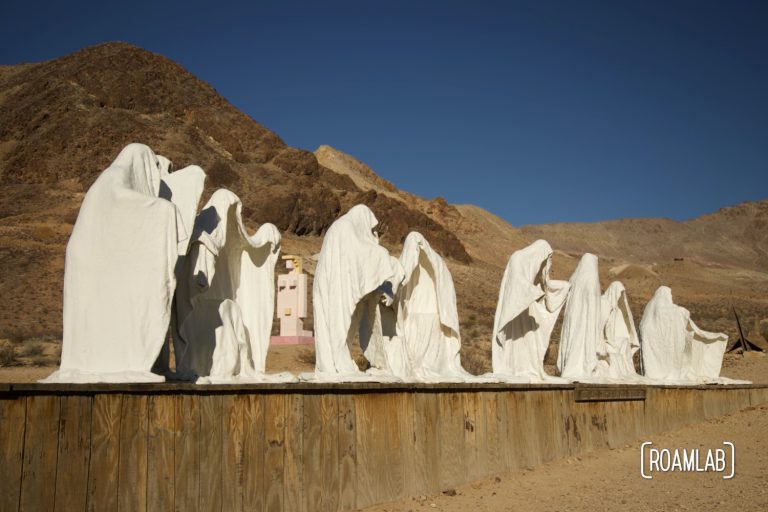
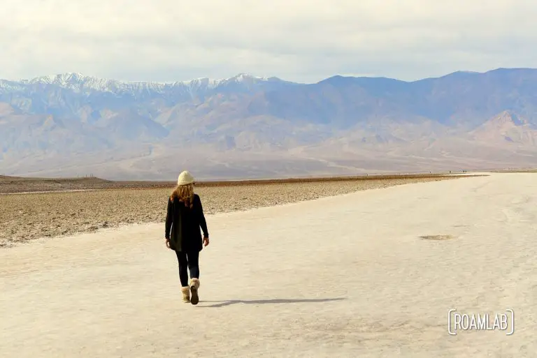
Strange things happen in the desert. It is a place of extreme temperatures and temperaments. It is a place of rugged self-sufficiency and creative invention born of necessity. Those that survive here are the outliers. And in the remote outskirts of the Nevada desert, along the border of Death Valley National Park, is one of the strangest destinations we have encountered: the Goldwell Open Air Museum.