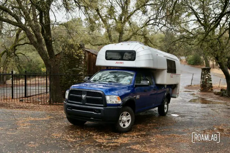
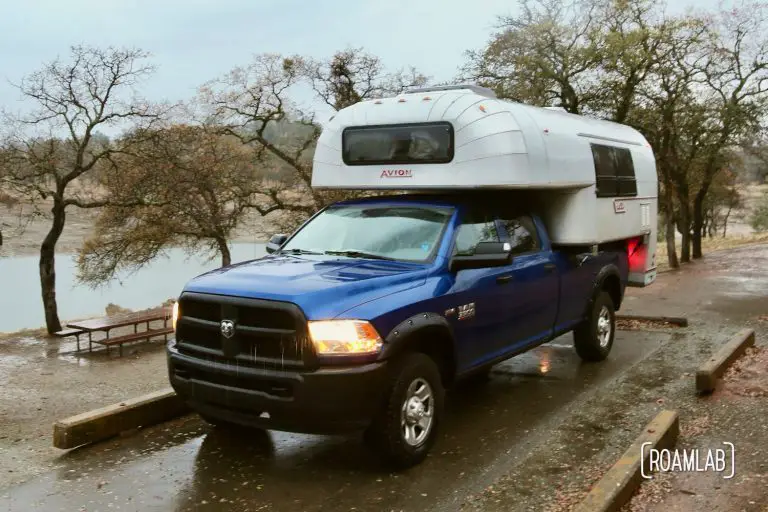
Looking Back on the Rimrocker
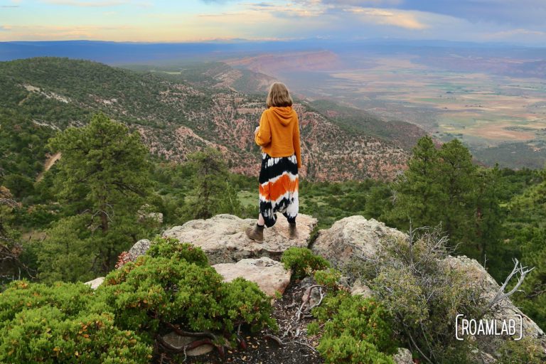
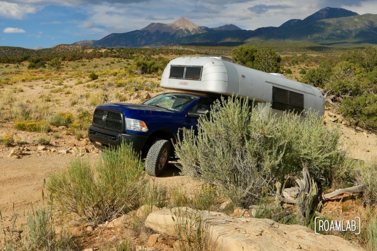
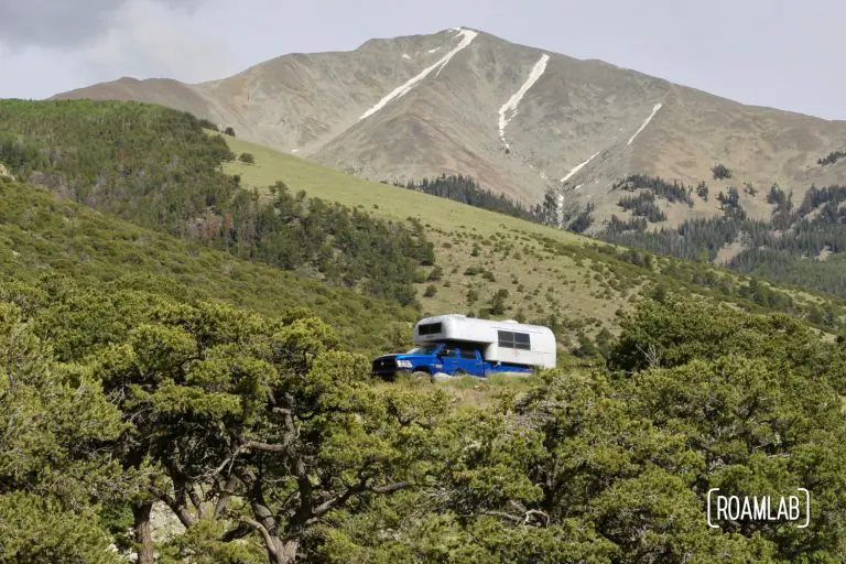
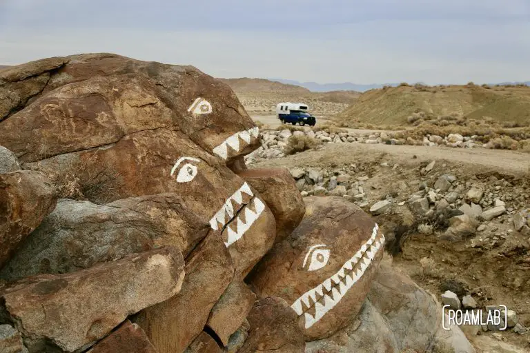
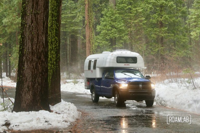
The Rimrocker Trail is an off-road and OHV route from Montrose, Colorado to Moab, Utah. The trail traverses terrain from pine and aspen forests to rolling hills of sage and cactus. The road condition varies from regularly graded gravel to rutted dirt roads and one high water crossing. The trail winds through federal and private land so be conscious of signs along the road when selecting a campsite or taking side adventures on other trails.